British Empire Title

The Westcountry Walker: Hiking Through History

Athelney: Where Alfred’s Fortunes Were Transformed — as was the Landscape That Concealed Him


Athelney

One of my favourite walks is around Athelney, Burrow Mump and the surrounding Somerset Levels. Few landscapes can have been transformed quite as much as this area which once upon a time were deadly swamps and marshlands that could only be traversed with wooden walkways or through obscure trails known only to those with an intimate understanding of the area. This was the landscape known to King Alfred and his much diminished band of Saxon warriors who had been forced into hiding here on the Isle of Princes (Athelney - and it really was an island at the time) in 878 AD. Later, windmills and steam power would transform these marshes into the landscape we see now of straight drainage canals, fields and embankments. Although nature has a way of reclaiming these low lying lands with fairly frequent flooding most winters.

It is no exaggeration to say that in the 9th Century the Anglo-Saxon nation was reduced to what could be viewed from the Isle of Athelney. The Vikings had been so successful that Alfred had been forced to retreat to rebuild, rearm, reconstitute alliances in this almost inaccessible marshland environment. Effectively, ‘England’ was the view from Athelney and a soggy view it was too. The area around Athelney was all that remained of the Kingdom of the Anglo-Saxons. It would have been a desperate time for the embattled King and his followers.

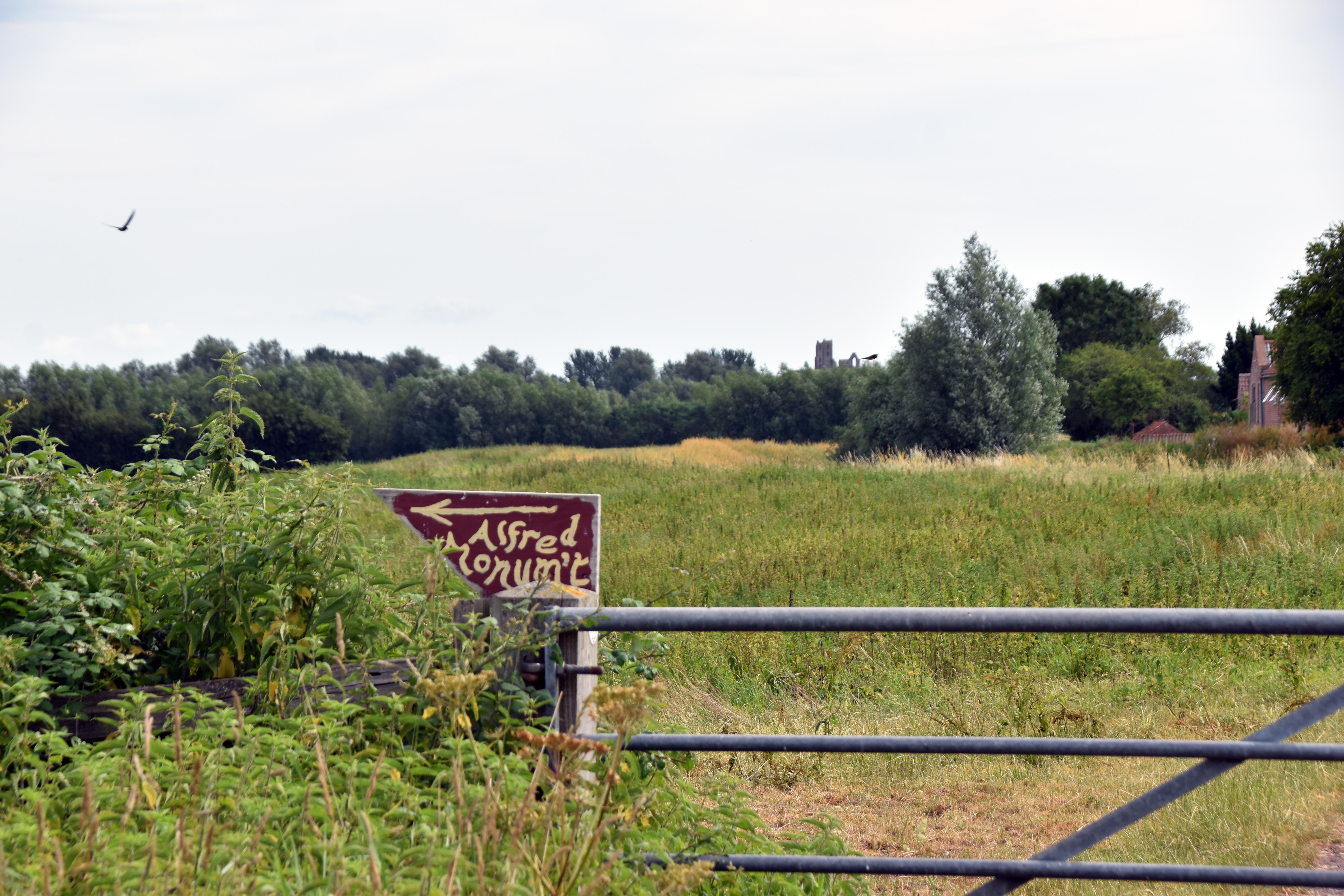
The monument itself was constructed in 1801 by John Slade at a time of similar peril for the nation although this time the danger was a young Napoleon Bonaparte. John Slade was a soldier himself commanding the Royal Dragoons at the time. His father had bought Maunsell House and Estate which included Athelney Farm on the side of this rare bit of raised ground in the area. One wonders whether his motivation in building this monument was to conjure up the spirit of Alfred to help a beleaguered England once more at the start of the new century. Perhaps fittingly it was a kinsman of his, Sir Thomas Slade, who was the naval architect who designed Nelson’s ‘Victory’ which would help to seal England’s freedom from Napoleonic tyranny. John Slade would later be awarded a baronet for his services leading cavalry through the Peninsular Campaign.
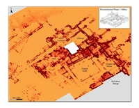
Athelney Abbey

It never ceases to amaze me that this is one of the most consequential places in English history (and reputedly the location where Alfred burned the cakes of a local lady who chastised him right royally) and yet I have never ever seen another person at this site—other than the farmer who owns it. He also took a starring role in both episodes of Time Team that were filmed here. Indeed, this site’s historical importance was why the Channel 4 programme used it as their very first episode and also why it was the first site they ever returned to in order to do a second dig on their 100th episode 10 year anniversary.

Alfred used the island to gather his strength, set up blacksmiths to produce weaponry and armour and sent out messengers all over the country to gather forces to Edington where they would score a great victory over the Vikings and return to the path of power that would ultimately lead to the creation of England under his grandson Aethelstan. Appreciating the significance of this island in preserving his kingdom, Alfred founded an Abbey on the site in 888 AD. This religious house would be for the monks of St Benedict, and it would remain in operation until the Reformation swept it aside. This adds yet another level of importance to this remarkable location. I should add that the site is now surrounded by iron railings but it is clear that this was not always the case as graffiti from across the ages attests—some of them helpfully pointing out the antiquity of their own marks from the 19th and early 20th centuries.
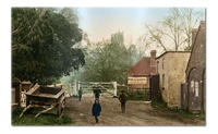
Burrow Toll Bridge

From here we walked alongside the River Tone towards Burrowbridge which lies on the even larger River Parrett—one of the main waterways in the region. This community built up around the old toll bridge that was built in 1828 as the levels became more traversable thanks to land reclamation through the far more reliable pumps utilising the steam power of the industrial revolution. Turnpike roads were built and toll bridges constructed as the government hoped to improve infrastructure at minimal cost to the taxpayer. It is a very busy road and bridge to this day.

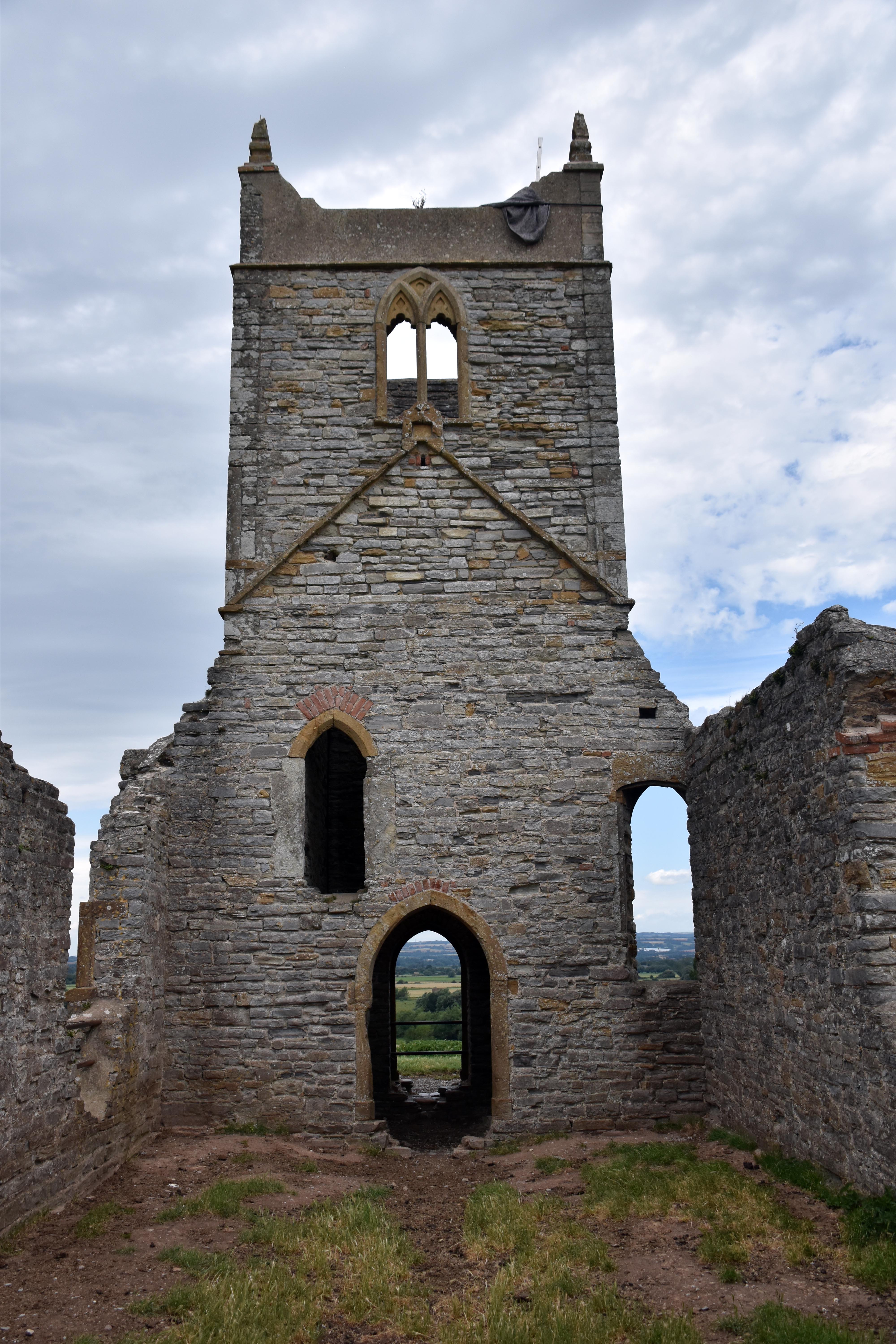
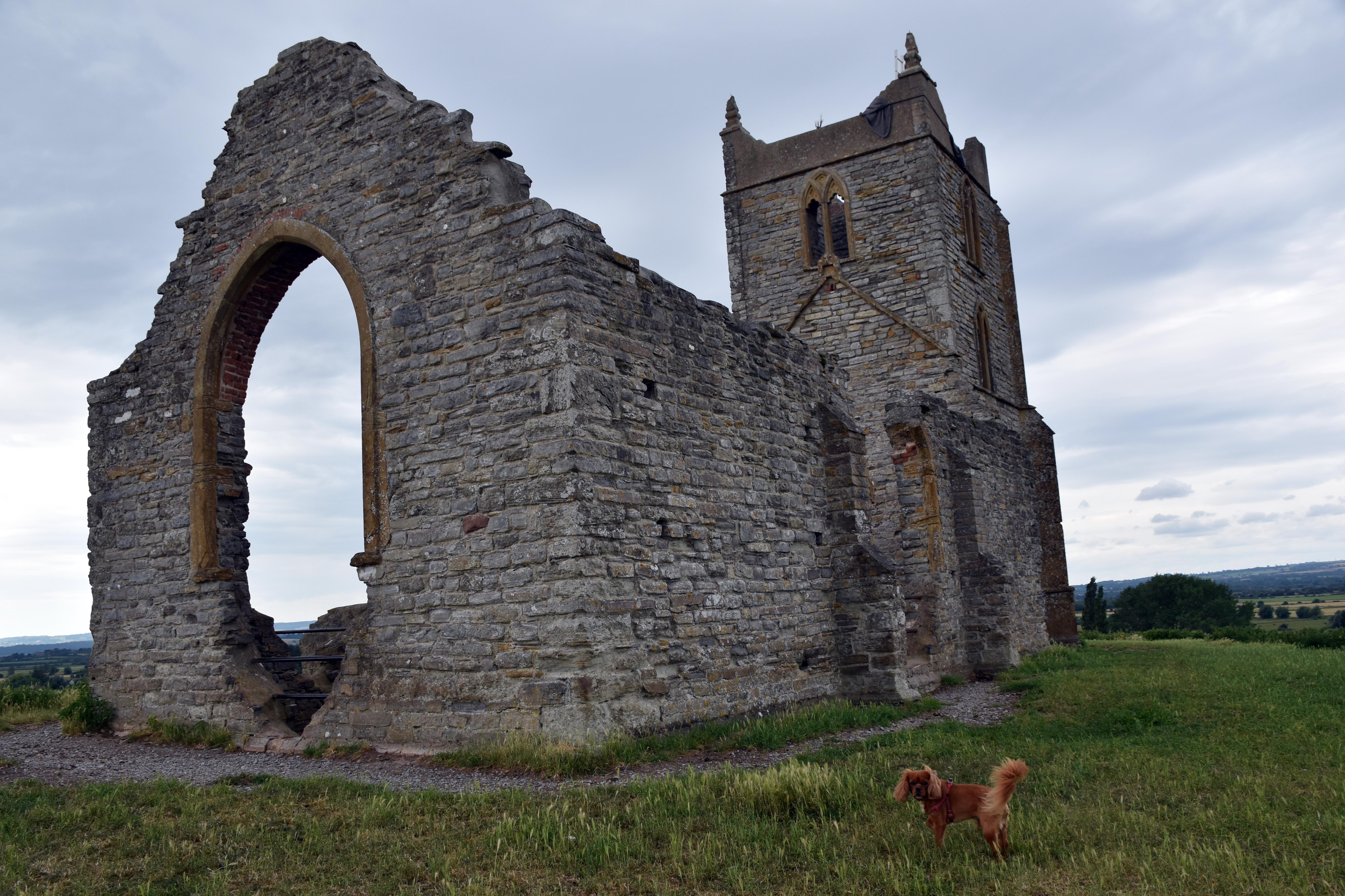
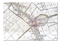
Towering over the old bridge is Burrow Mump. This was an even more substantial island than that of Athelney. It was almost certainly used as a look out point in the time of King Alfred. And that is probably where the name came from. We now spell it Burrow but old maps show that it was spelt Borough which itself is derived from King Alfred's name for fortified positions - his famous Burhs. East Lyng was a burh as we shall see later. Some old maps mistakenly assumed this was where King Alfred hid from the Vikings and King Alfred's Fort is often labelled incorrectly on the feature. Burrow Mump might not have been quite as big at that time, though, as it is likely that the Normans built up the mound to support an adulterine castle (basically a fortified house) possibly during the anarchy years of Matilda and Stephen. Later the monks from Athelney Abbey oversaw the construction of a church dedicated to St Michael—an appropriate saint for a site with so many military connections. Indeed it would see even more military uses as its strategic location was clearly obvious.
Burrow Mump
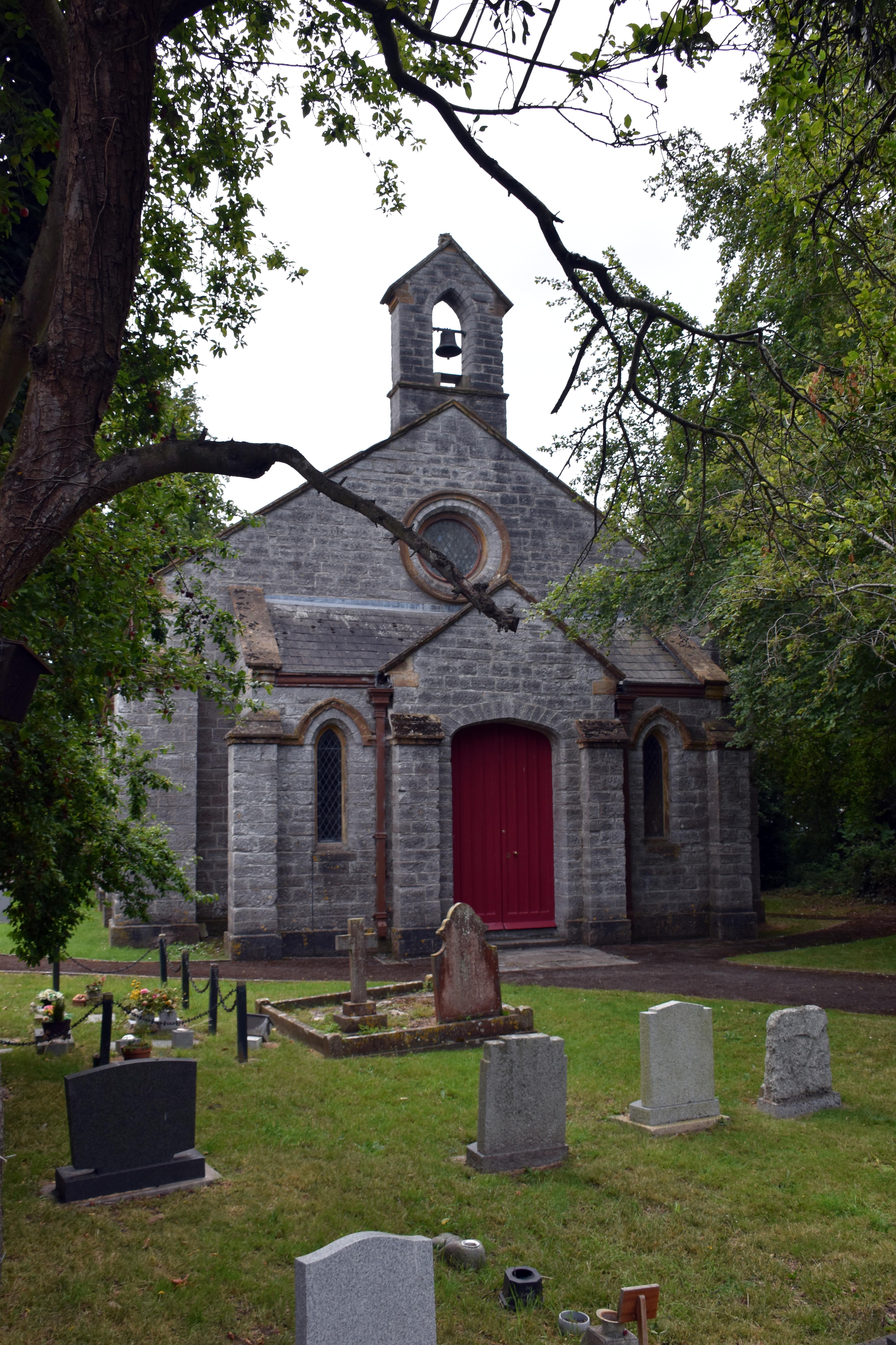
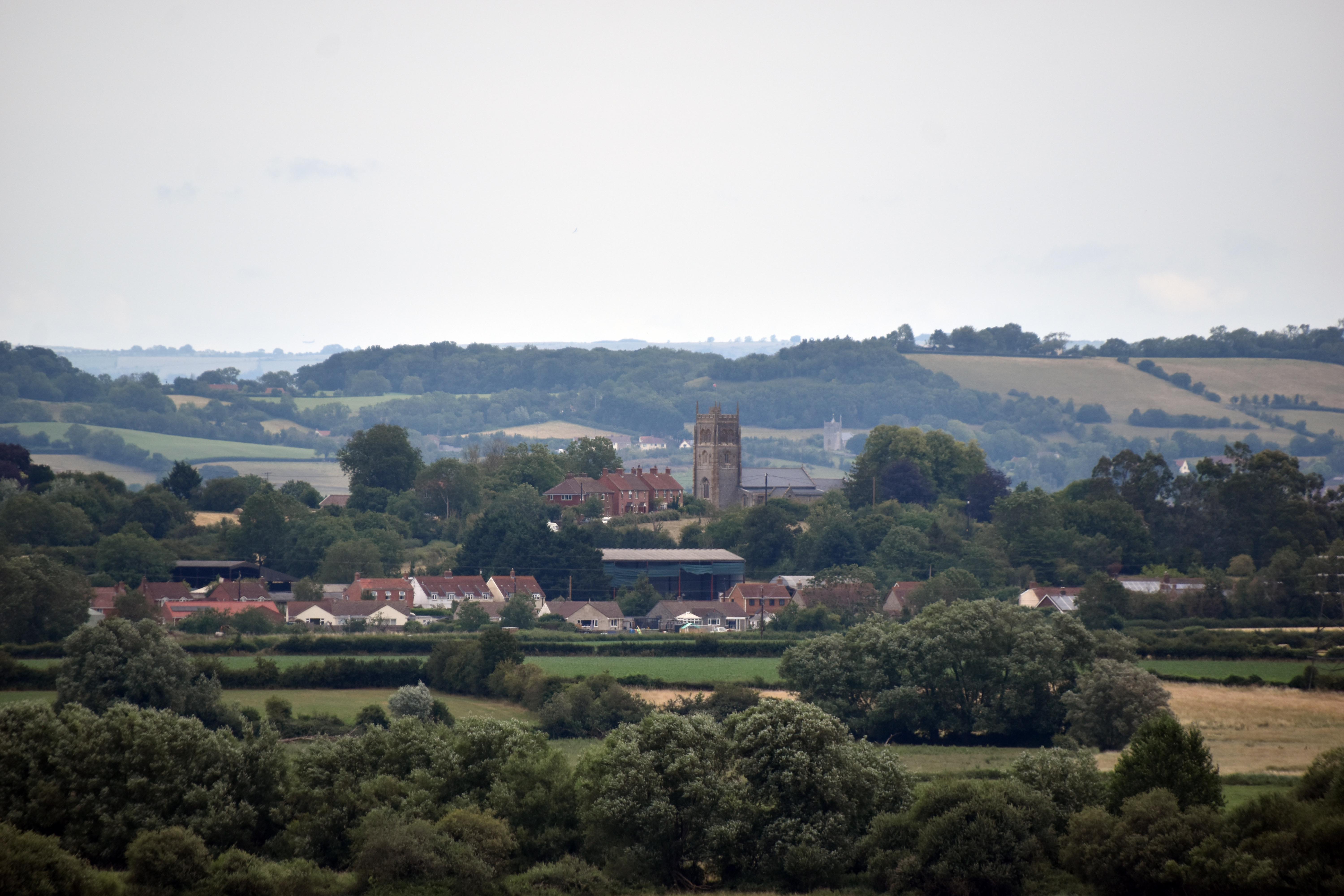
In the Civil War, Royalist troops occupied this church in the aftermath of General Goring’s defeat at Langport by Sir Thomas Fairfax in 1645. They would surrender to Colonel Okey who had made his name just the month before at the Battle of Naseby when his troops enfiladed the advancing Royalists and set the stage for their defeat. The site was also used in 1685 during the Monmouth Rebellion which culminated just a couple miles North at Westonzoyland. Later during some excavations of the church the burial of a man with a lead bullet was discovered although it is not clear which of those clashes he was killed in. The church itself seems to have been damaged during that Civil War clash and was never used again - despite some attempts to have it repaired in the 18th Century. In the 19th Century it was decided to build a church in Burrowbridge itself confusingly also called St Michael’s—and even more sadly all locked up! The old St Michael’s has been designated as a war memorial to the men and women of Somerset who died in the Second World War. The views are spectacular from up here, you may not be that high, but when everything around you is at barely above sea level you can see for miles. We were also treated to a fly by from an RAF A400 Atlas pretty much directly above us, perhaps they were using the hill as a navigational aid.

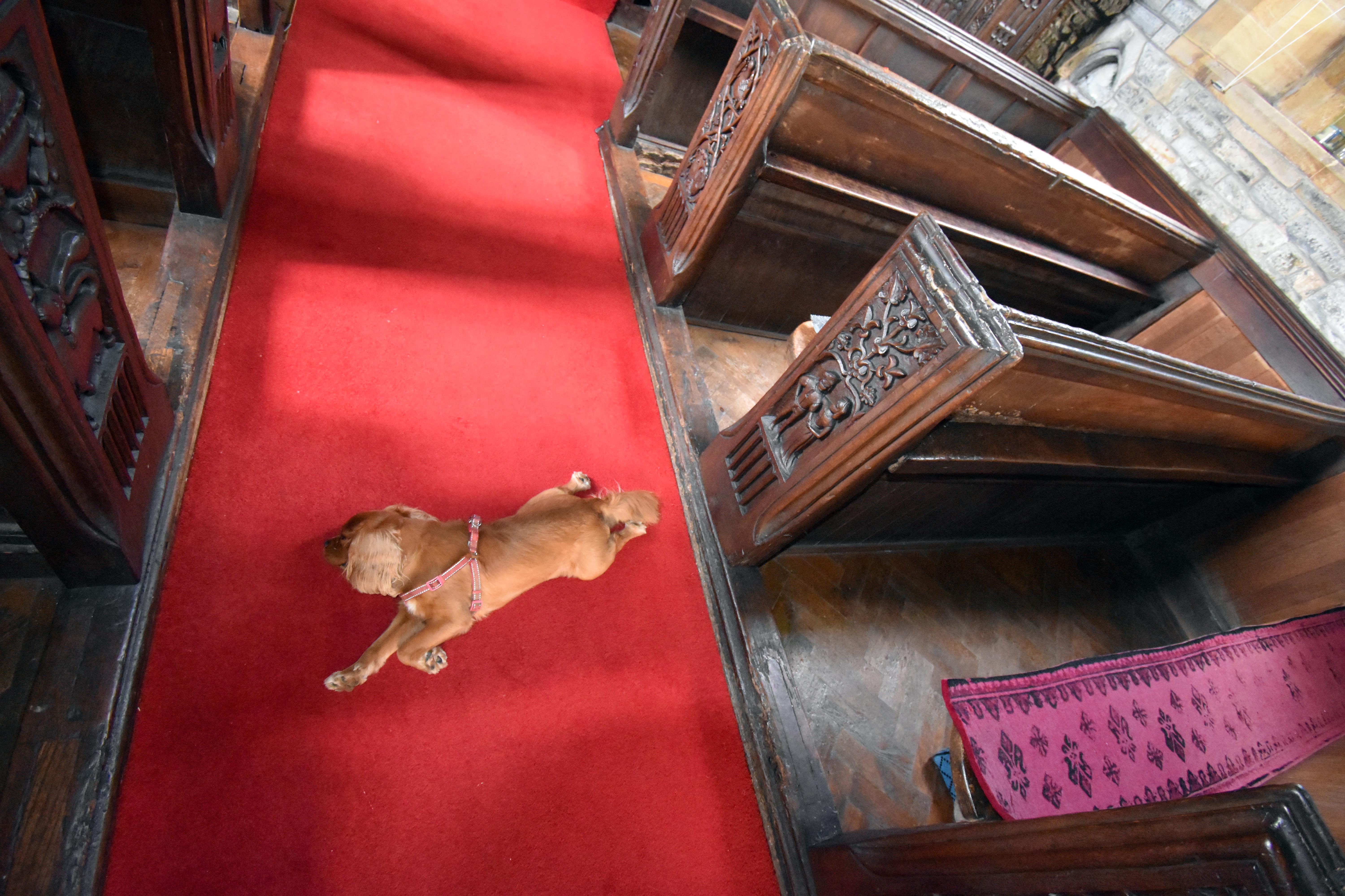
We descended back into Burrowbridge and had a bite to eat in the appropriately named King Alfred Inn. This pub itself was something of a victim of those Turnpike roads when it was deemed necessary for the Lyng road to be built through what was the front of the Inn in 1806. It was during this enforced remodelling that it earned its new name of King Alfred Inn. Possibly this was because of the renewed interest engendered by John Slade’s monument just a few years earlier. In its modern iteration Rupert was a big hit with the serving staff who brought him a steady stream of treats! After lunch, we crossed back over the Parrett. Amusingly when we had first crossed the bridge we had spotted two naughty sheep enjoying themselves on the bank of the river. Not believing their luck. By the time we returned they had gone, perhaps feeling a little ‘sheepish’ at their escapade.

Rhynes and Sluice Gates

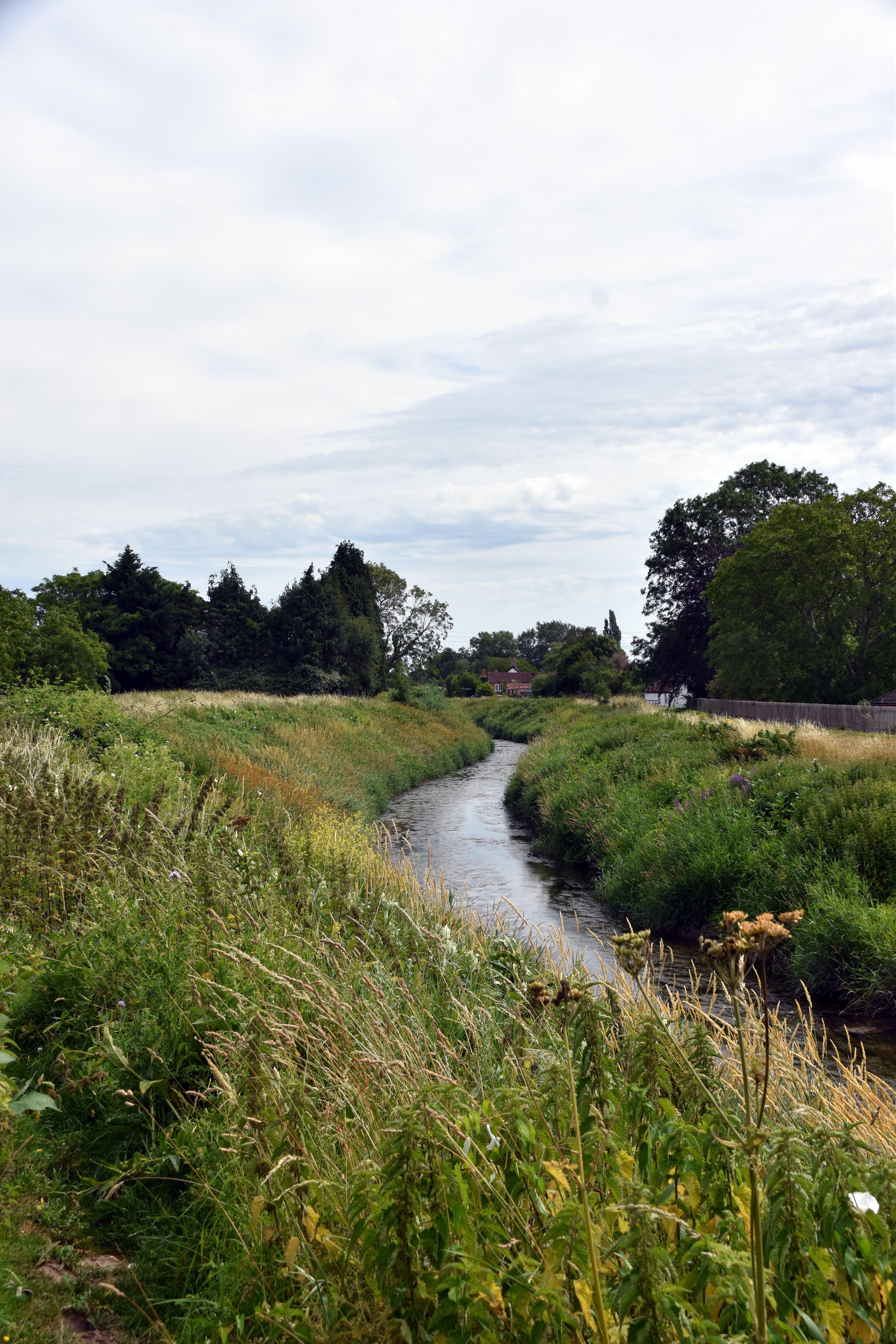
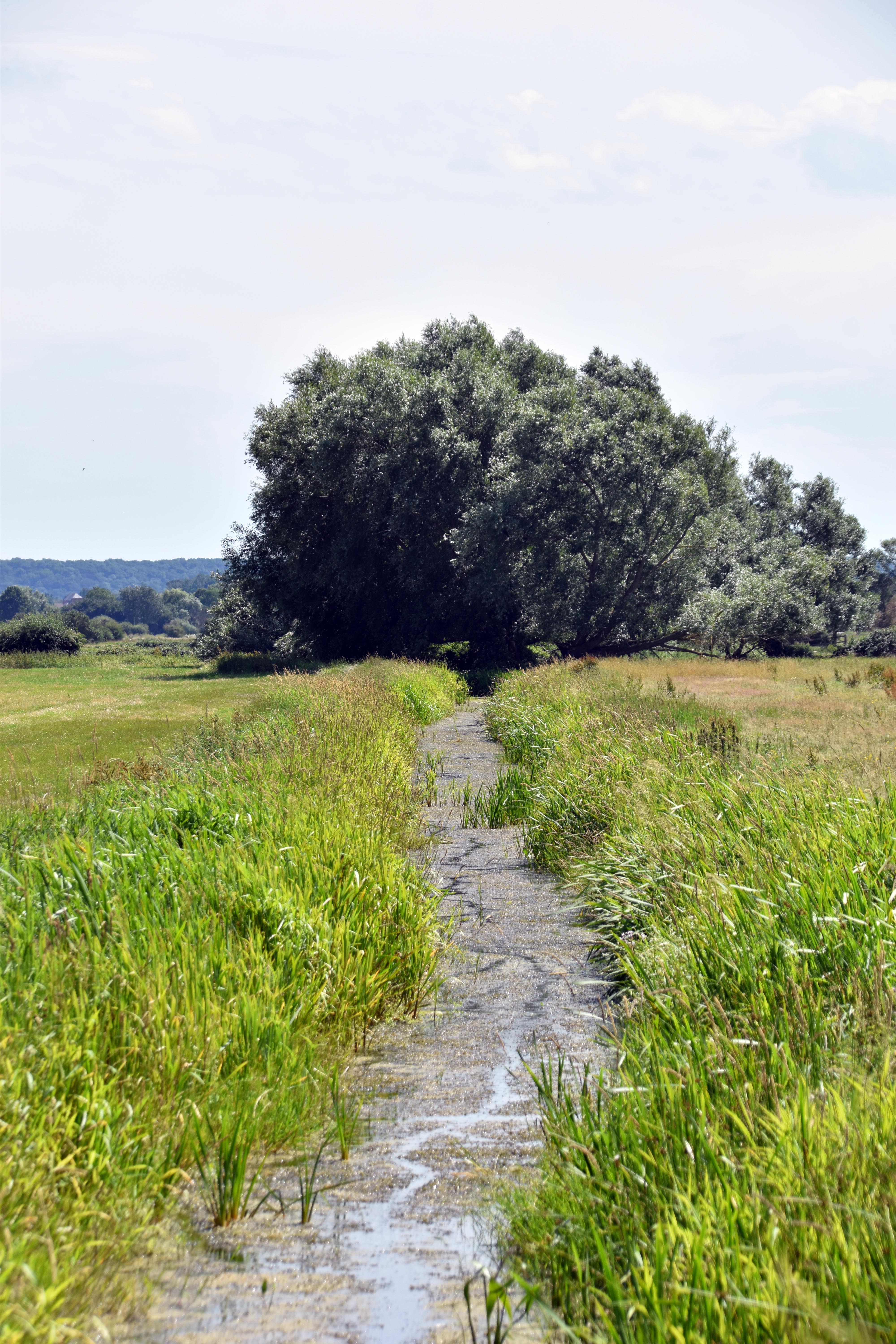
The weather was steadily warming up as we headed north east along the River Parrett although it was largely hidden from us by its substantial anti-flooding embankments. It was still a lovely walk with some impressive farmland. I loved seeing swallows swooping above fields of wheat. Dragonflies and butterflies danced all around us all day. The irrigation channels make this a wonderful ecosystem for flora and fauna alike. And their straight lines remind us that this is no natural environment, this is a landscape made by man for agricultural purposes - but one that nature has adapted to in its stride.

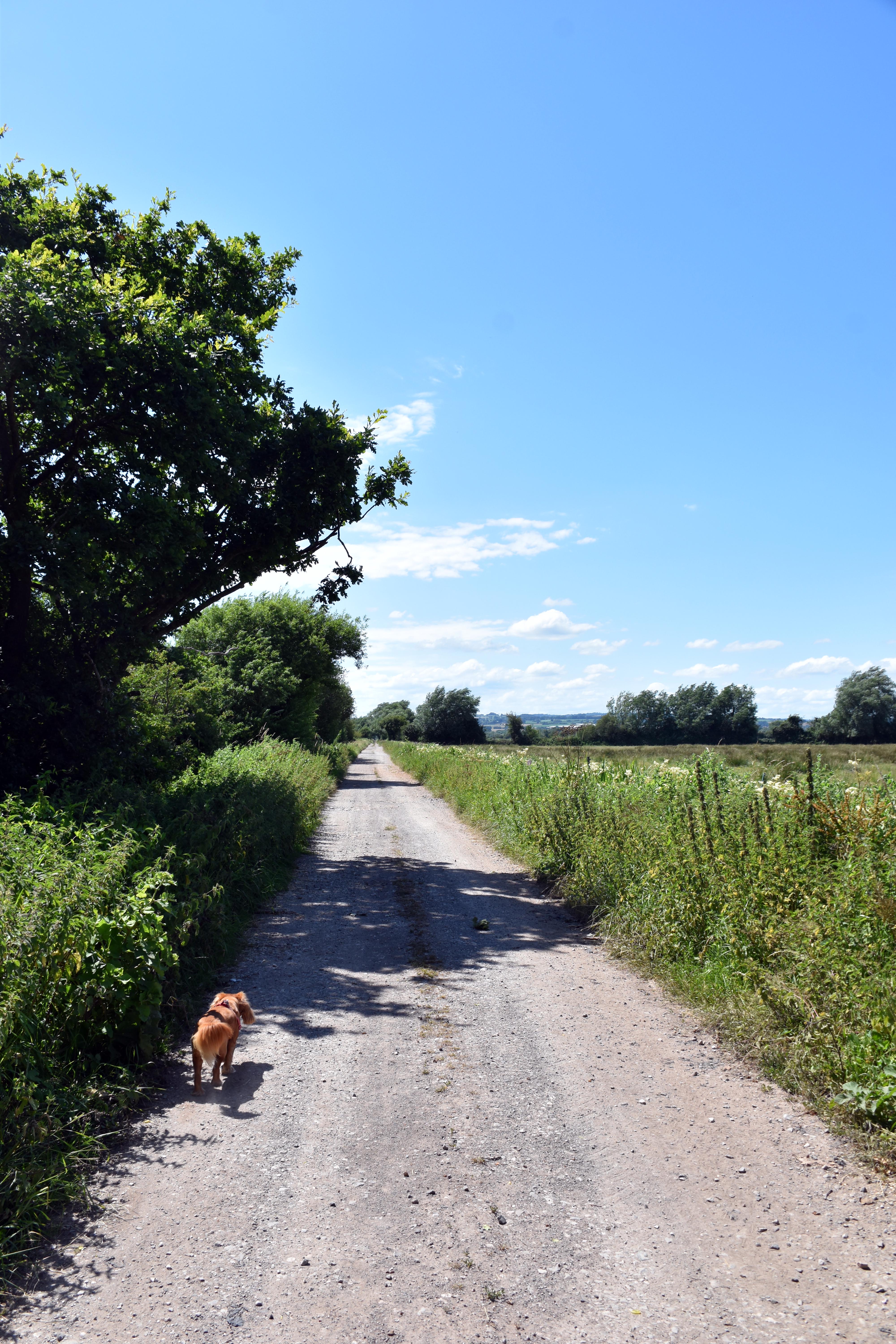
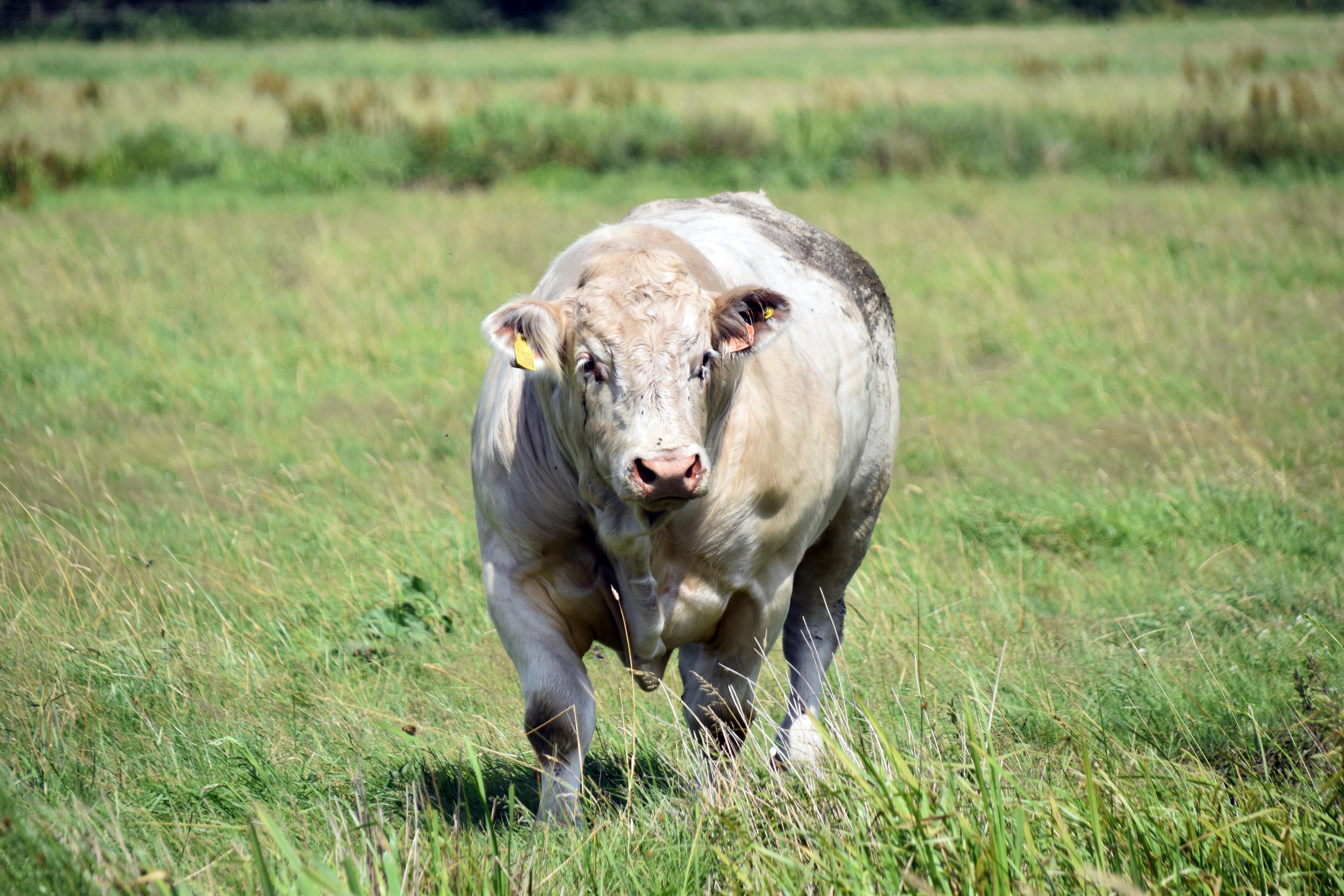
Nothing emphasised these straight constructions better than Lyng Drove, which we followed unbending for two kilometres straight. The Drove refers to its role in allowing cattle to be moved around these complex irrigation waterways. And sure enough we saw plenty of fields of cattle along this route. Fields of young bulls, fields of cows and calves and one field with a huge white bull who was clearly letting all the others know who was the boss!

We were heading to East Lyng which once upon a time was the main defensive burh and entrance way to King Alfred’s hideaway. It was something of a guarded gateway from where you could follow a wooden pathway through the marsh to Athelney. In times of danger, the wooden boards could be destroyed to make it even harder to get to the island.

St Bartholomew’s East Lyng

We headed to St Bartholomew’s church hoping it would be open, and were delighted to find that it was. Its very location shows us where the defensive burh was once located. At the end of the cemetery is a sharp boundary wall which marks the end of the Saxon defences. Most burhs are long buried deep under the urban ‘boroughs’ that they often spawned. But this is one of the few where you can actually see the Saxon defences although of course the land all around it has been transformed beyond all recognition.

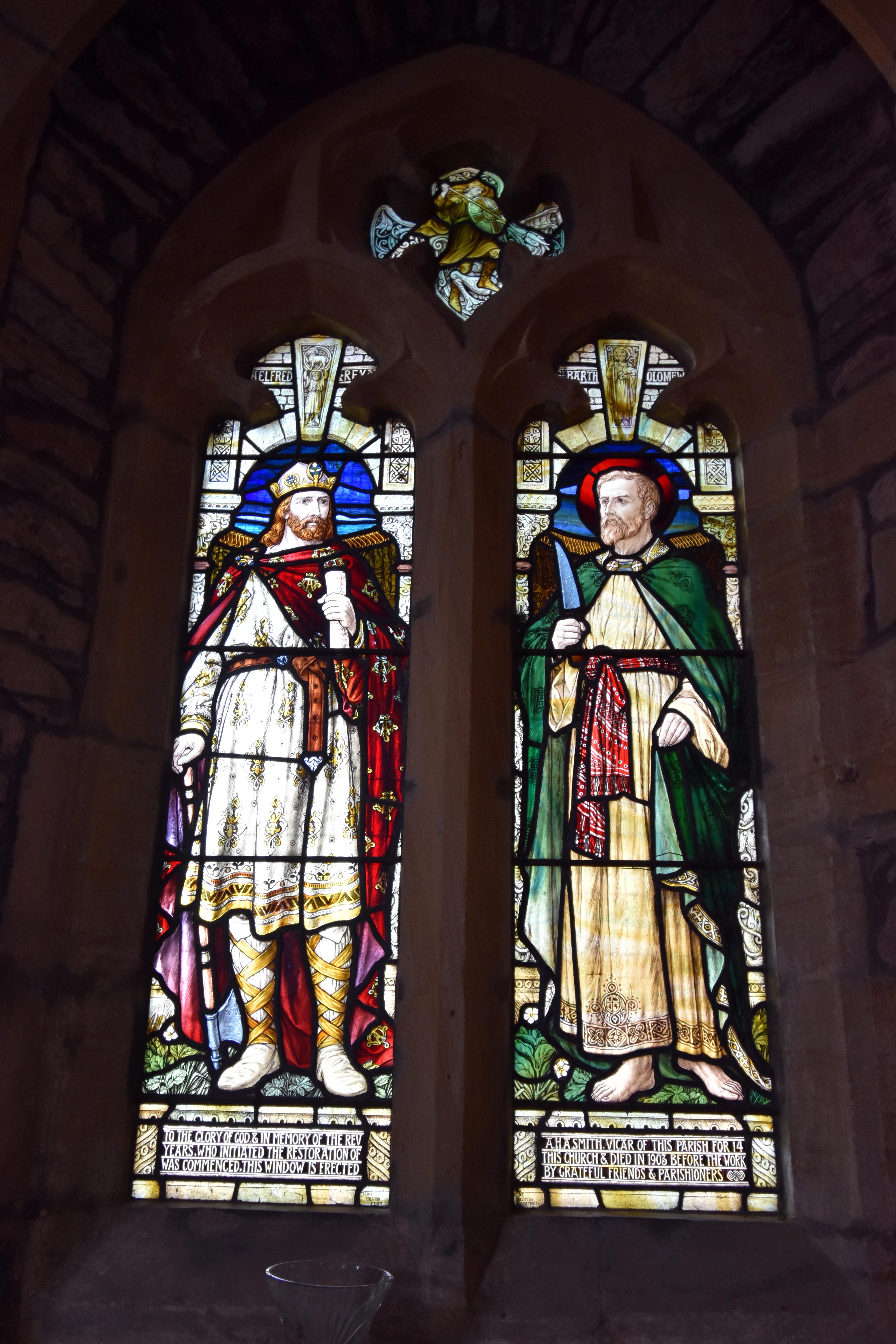
This church was also built by Athelney Abbey as their own power and wealth increased as land reclamation and agricultural production on their lands increased. There is a delightful stained glass window showing King Alfred wearing what is known as the Alfred Jewel. This Saxon Pointer (used to follow Scripture) was found nearby in the 17th Century and is regarded as a masterpiece of Saxon artisanship. The case intriguingly says that ‘Alfred caused me to be made’ hence its name as the Alfred Jewel. These days it is held in the Ashmolean Museum in Oxford although a replica was made for the church itself.

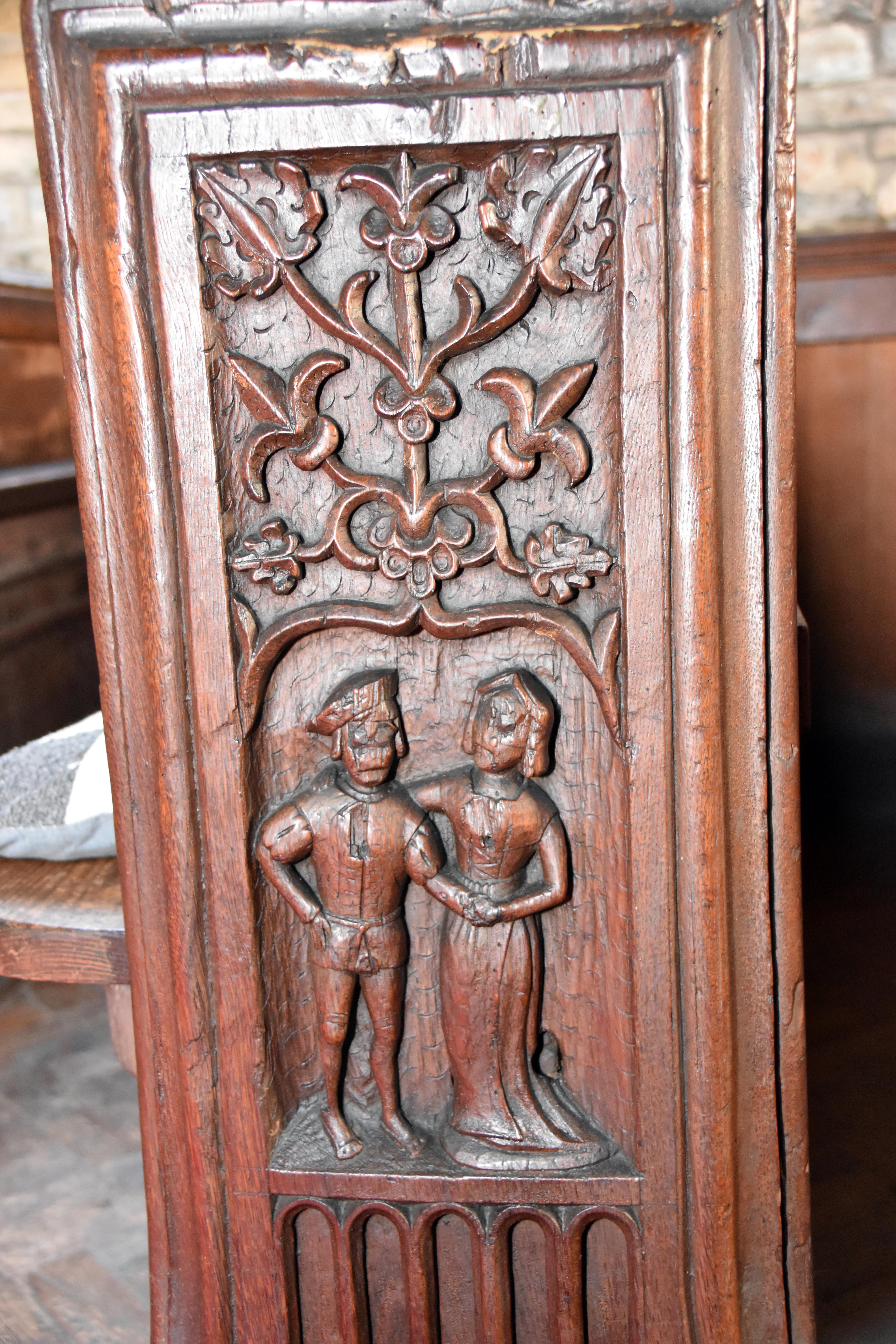
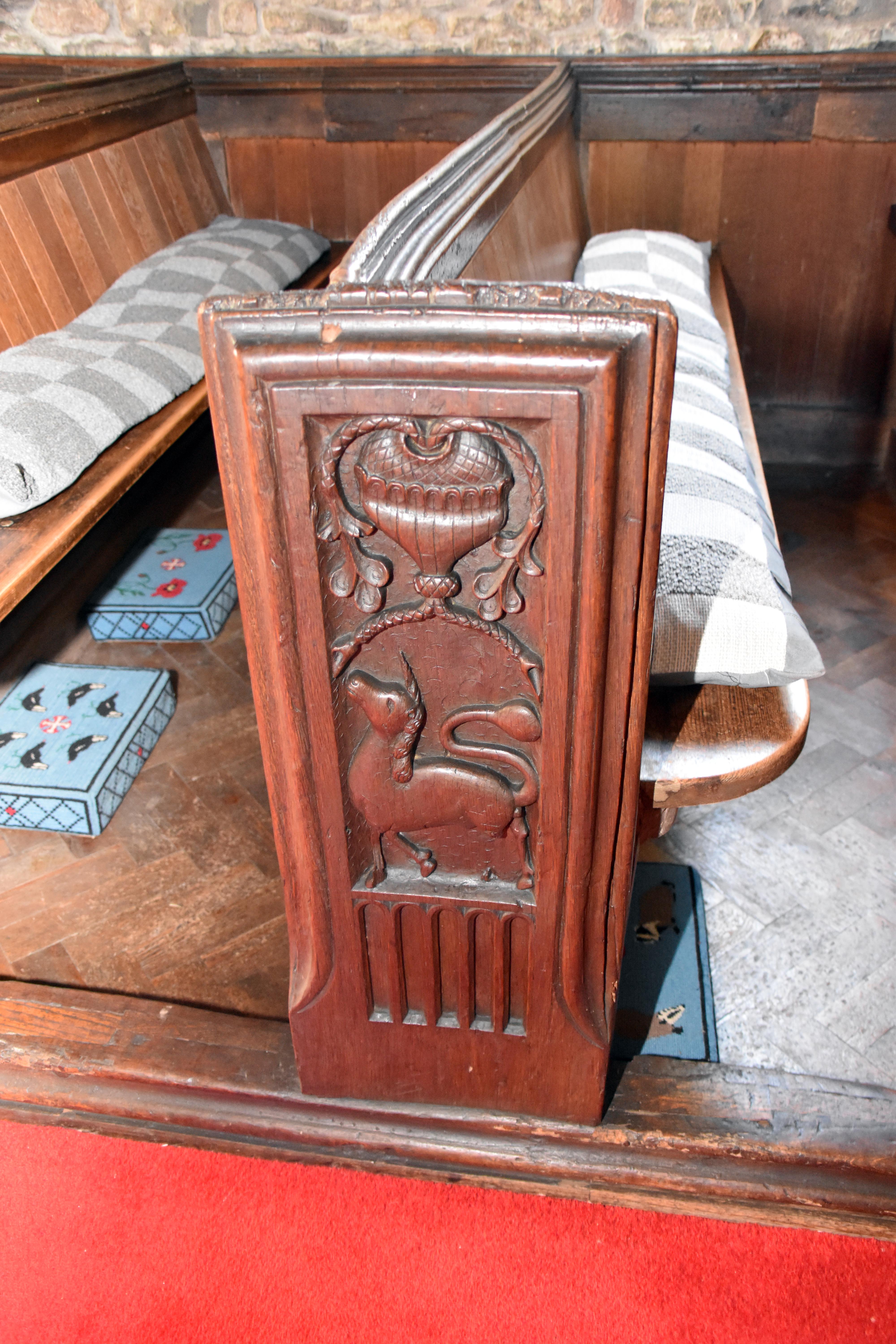
The church has some wonderful bench ends at least some of which may have been carved by the monks from Athelney Abbey not long before its dissolution. The reason that at least one can be so confidently dated is due to the carving of a couple ‘hand-fasting’ in a betrothal ceremony. The lady in that particular bench end wears a gable coif in the style popular in the early years of Henry VIII’s reign. But some were definitely done later—as one of them very handily displays the date 1614! They show all sorts of interesting images including a man pole vaulting across a water filled ditch, a green man, dragons, wrestlers, a unicorn and one where a boy stands on a friend to reach acorns.
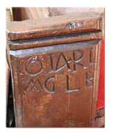
Bench Ends

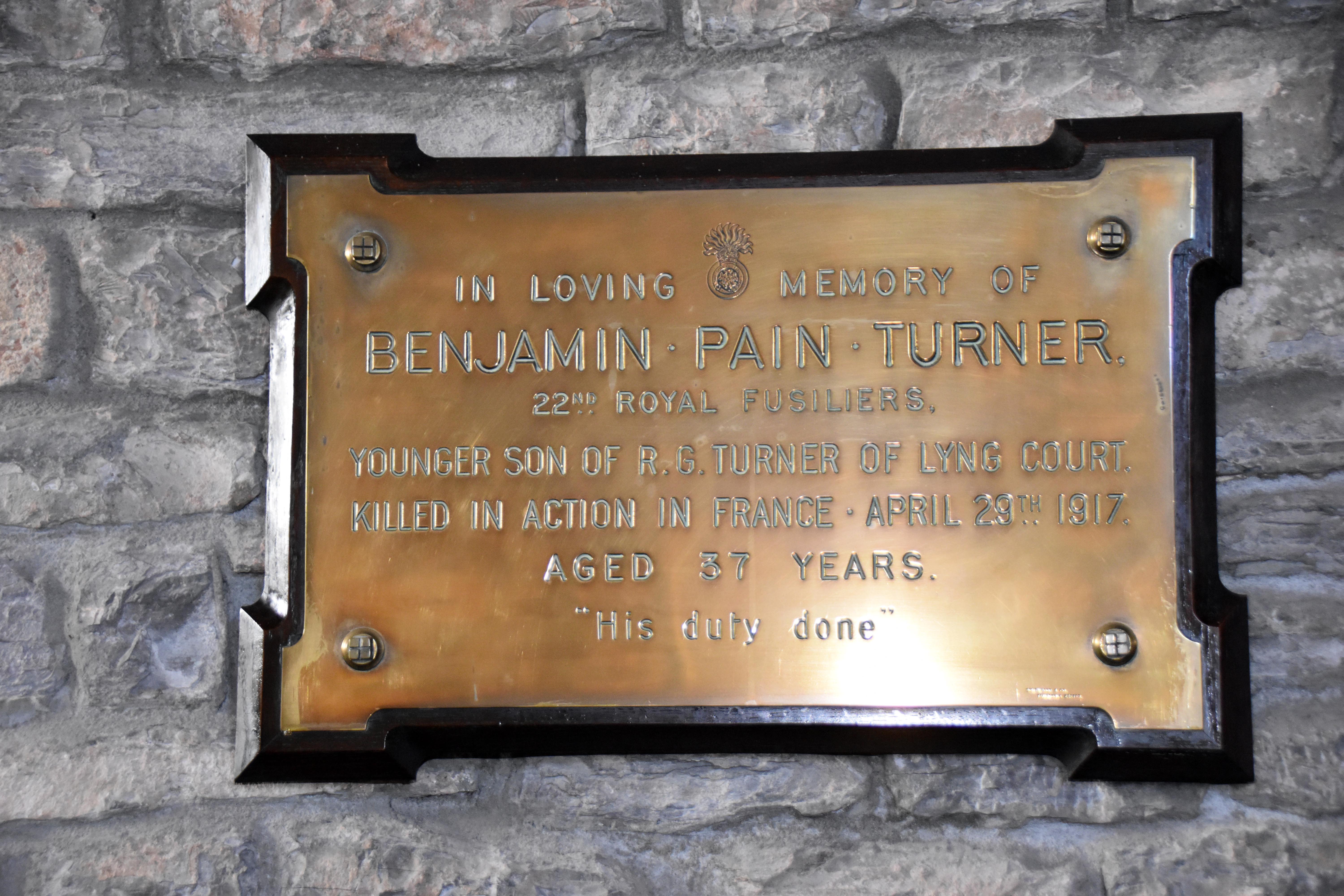
In the tower there were two very large and impressive 18th Century paintings showing Moses and Aaron. They are huge and in a very distinctive style. They are close to the 12th-century Norman font. The pulpit is believed to be a repurposed rood loft when they were ordered to be dismantled in the reign of Queen Elizabeth I. Just like many churches, St Bartholomew’s was extensively revamped in the Victorian era with some nice Arts and Crafts touches including Minton tiles and some very good quality stained glass windows. And just like most churches, there is a memorial to those who lost their lives and those who served in the World Wars. Sadly there are individual memorials to local sons who were killed in the First World War.

Balt Moor Wall

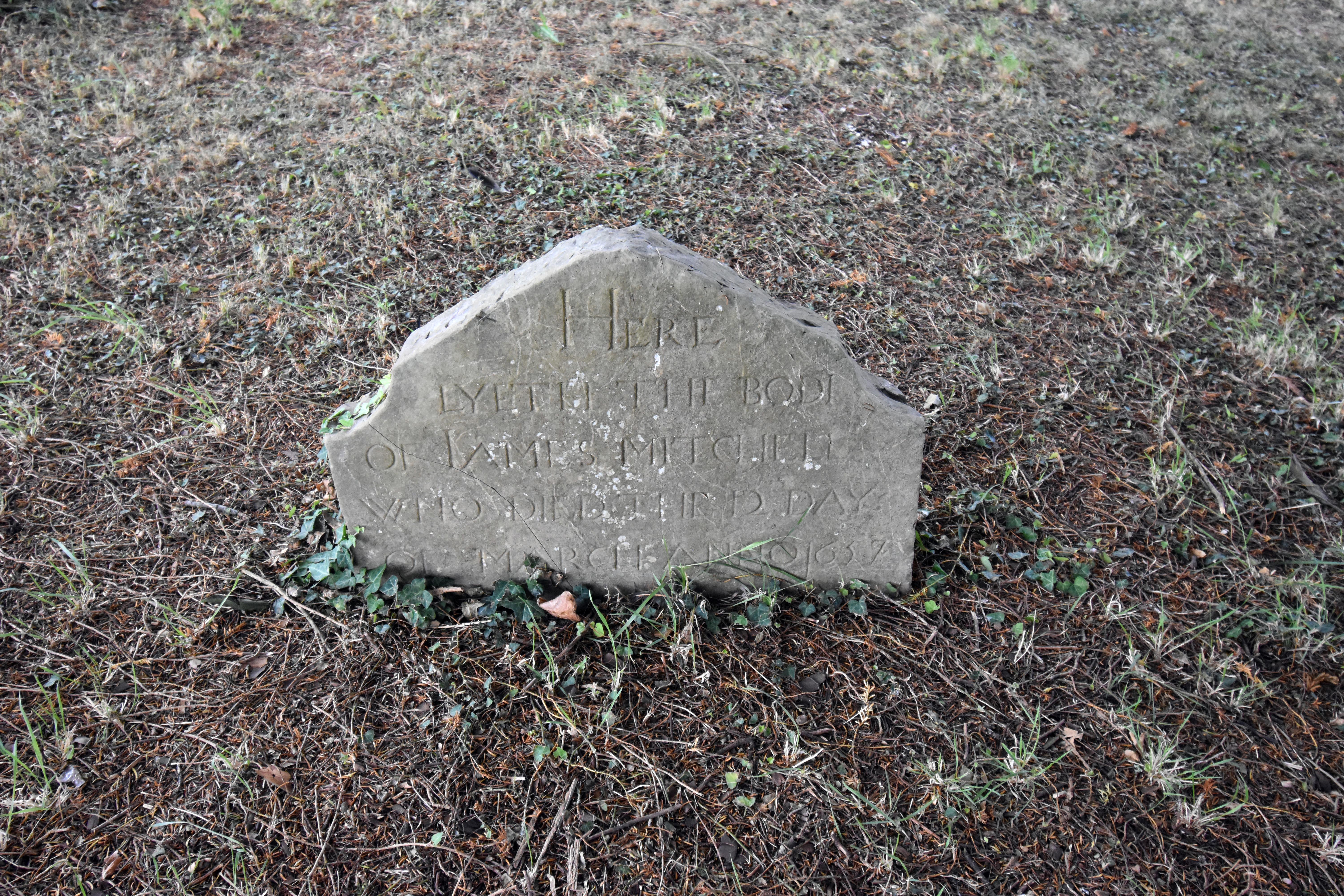
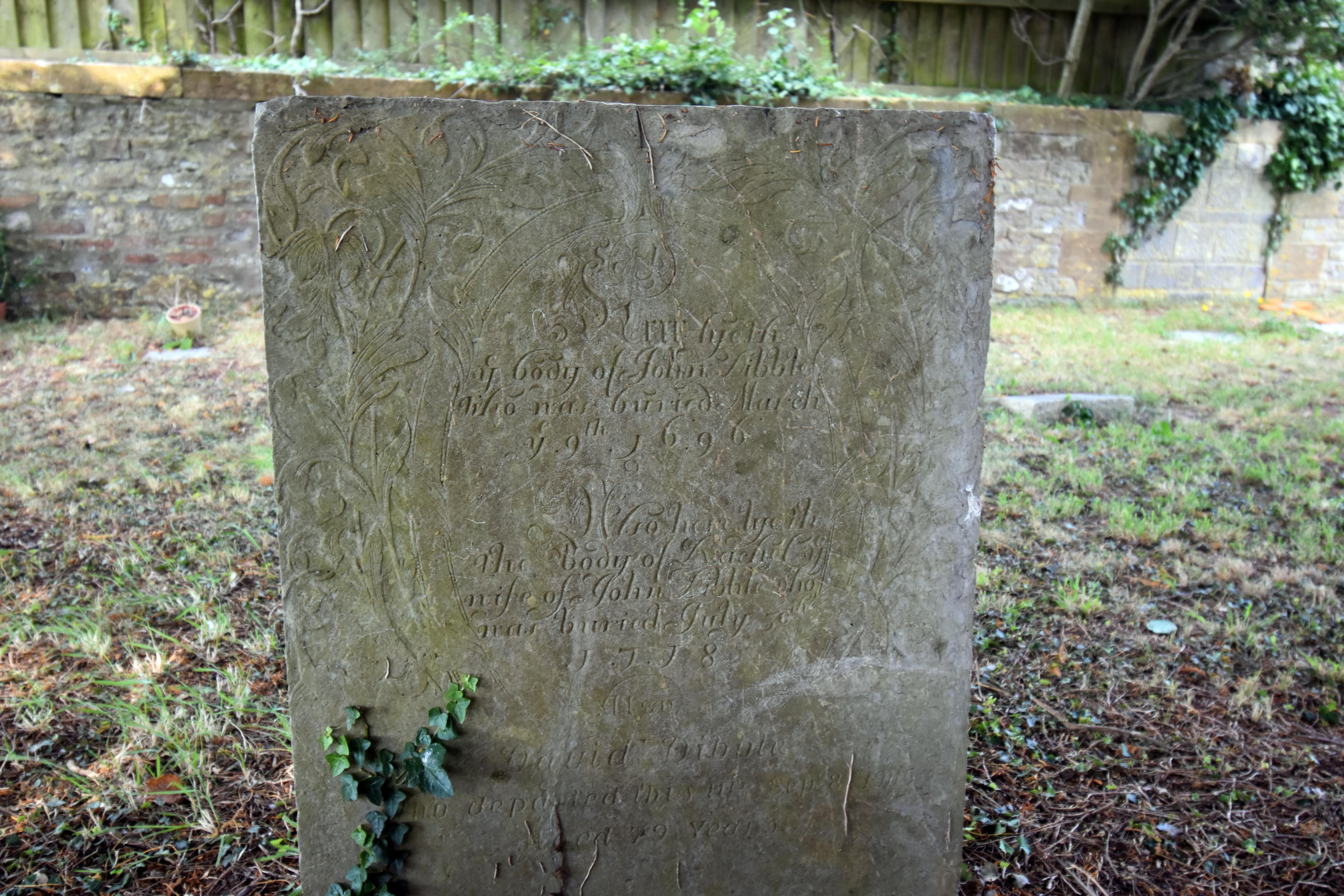
It really is a lovely church and as we looked around the outside, taking in its strategic location we were intrigued to find three graves dating back to the 17th century and all of them surprisingly well preserved. They were very easy to read in fact far better than many more modern grave stones.

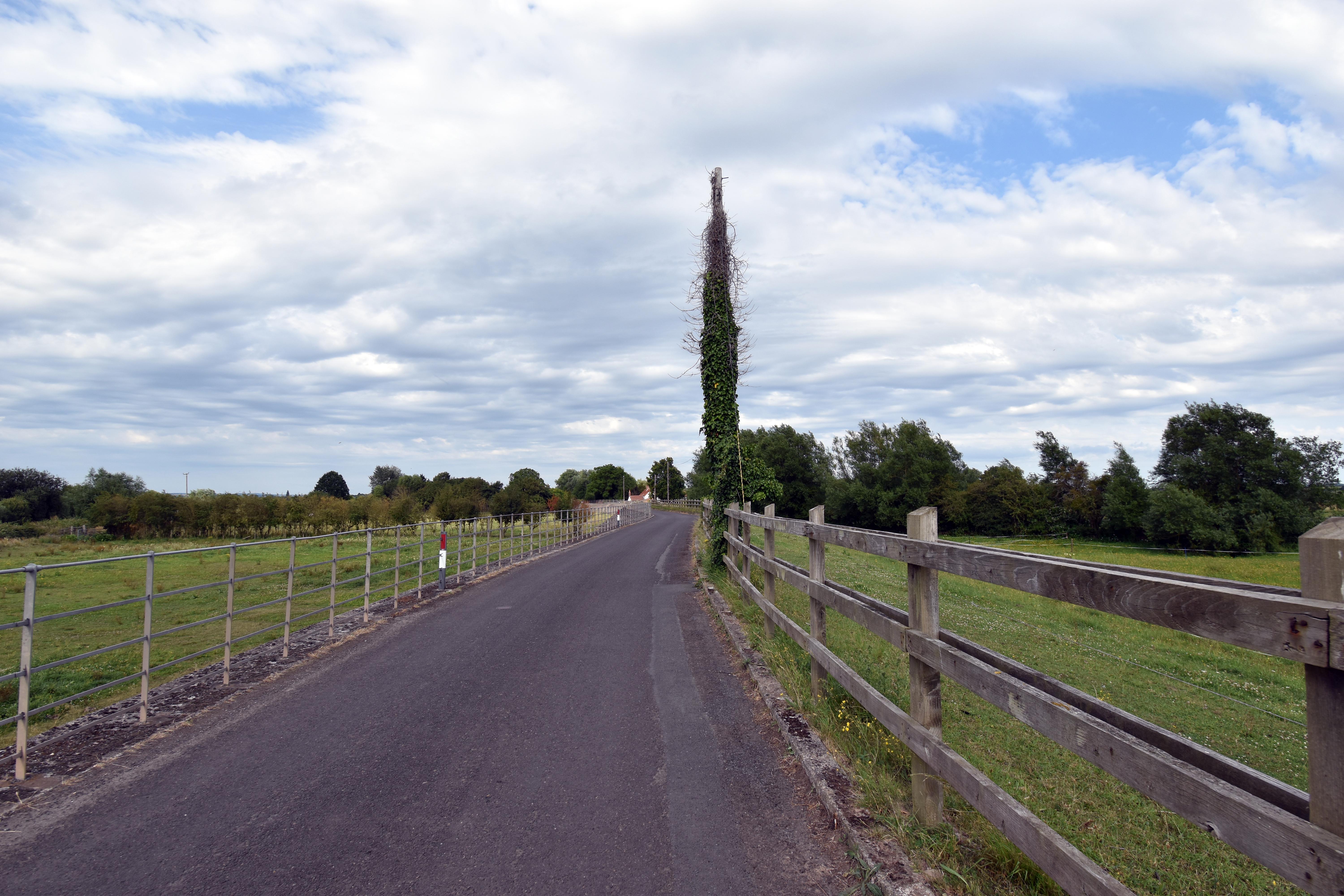
But as it was getting late we had to head back to Athelney to finish our circuit. As we did so we took one more historical route. Now it is called Cuts Road but it is quite a narrow road taking something of an odd route. The reason for this is that it is following the Balt Moor Wall which might be some of the oldest surviving flood defences in the country. It definitely dates from the medieval period and probably back to the Saxon era as a defensive wall to try and control flood waters. It itself might have been built along the route of the original wooden trackway built to King Alfred’s hideaway in the 9th Century. The reason being that once a route was marked out, it may well have been improved over the years and made higher forming a barrier that subsequent generations maintained rather than having to build a new one. So, as you walk (or drive) along this route, who knows, you may be following in the exact footsteps of King Alfred from all those centuries ago. He would have been much closer to the water and he would have been surrounded by marshland and reeds. It is hard to appreciate that vanished landscape now, but even in its transformed state, it has achieved a different kind of beauty. But even though it has changed beyond all recognition, it will never lose its history.

Location of Walk

Click for OS Map of Area

Links

Maunsell House – History of the Estate
Background on Maunsell House, home of the Slade family and estate including Athelney Farm

Historic England – Balt Moor Wall
Scheduled Monument entry for the medieval/Saxon flood defence and causeway route to Athelney

Historic England – Anglo‑Saxon Burh at East Lyng
Scheduled Monument entry for the defensive burh guarding access to Alfred’s refuge at Athelney

Historic England – Church of St Bartholomew, East Lyng
Grade I listing for the church built by Athelney Abbey, containing medieval bench ends and Alfred Jewel window

Historic England – Burrow Mump
Scheduled Monument entry for the hill, St Michael’s church ruins, and multi‑period defensive history

King Alfred Inn, Burrowbridge
Local pub named after Alfred, remodelled during the 1806 turnpike road works

Time Team – Episode 1 (Athelney)
Channel 4’s first ever *Time Team* excavation, exploring King Alfred’s island refuge at Athelney

Time Team – Episode 100 (Athelney Revisited)
The 10‑year anniversary return to Athelney, revisiting the original dig and uncovering new insights

Suggested Reading

Asser – Alfred the Great: Asser's Life of King Alfred and Other Contemporary Sources

Gill, David – Alfred the Great: King of the Anglo‑Saxons

Hill, Paul – The Kingdom of the Anglo-Saxons: The Wars of King Alfred 865-899

Kelly, Paul – King Alfred: A Man on the Move

Morris, Marc – The Anglo‑Saxons: A History of the Beginnings of England

Purkiss, Sue – Warrior King

Stenton, Frank – Anglo‑Saxon England

Williams, Ann – Kingship and Government in Pre‑Conquest England

More Walks

Walks by the Westcountry Walker

Walks in Cornwall

Walks in Devon

Walks in Somerset

Walks in Hampshire

Walks in Wiltshire

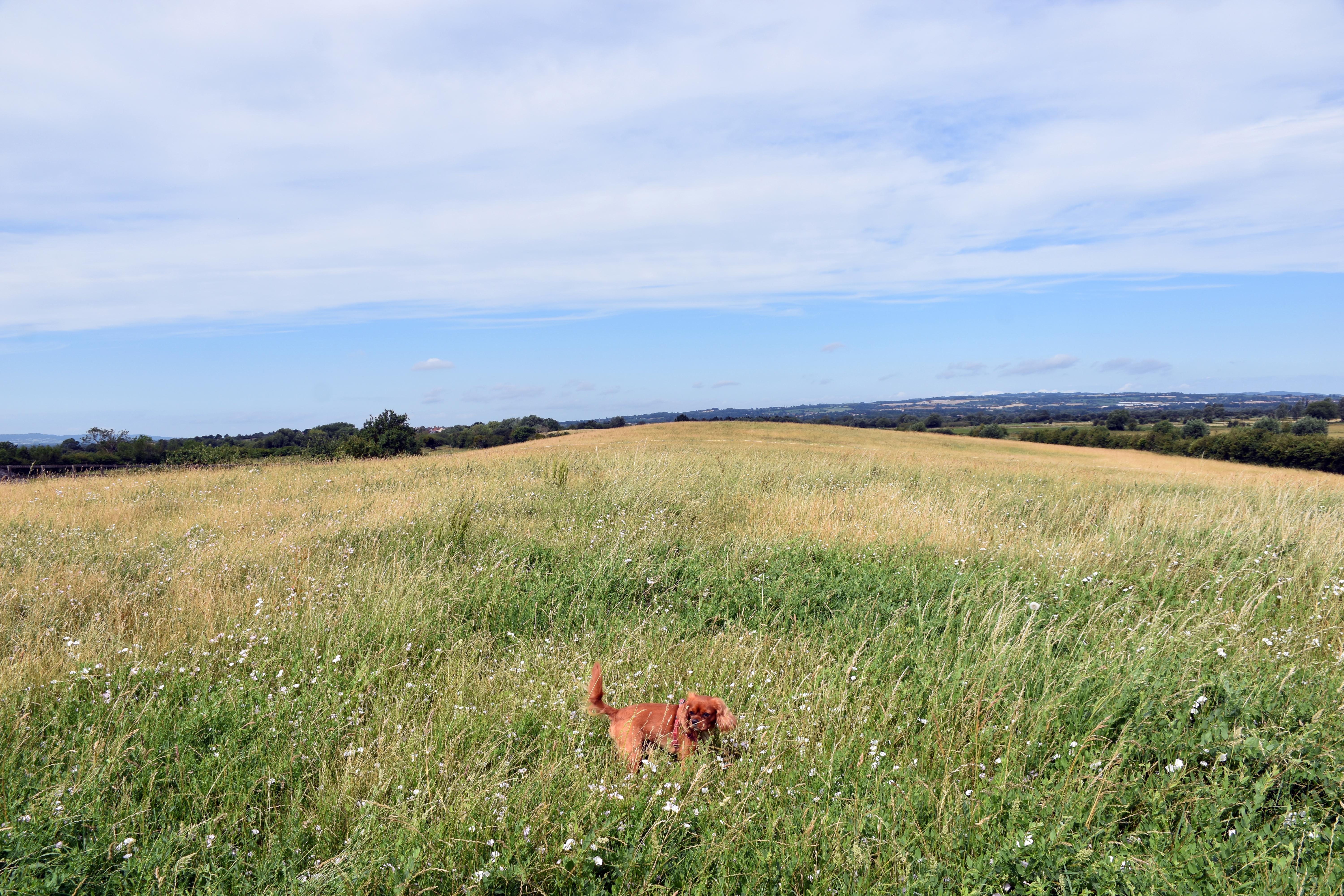
Hand‑painted sign pointing left to Alfred Monument beside a metal gate and summer meadow at Athelney, Somerset Levels View of Alfred Monument on its grassy mound, a bird perched on top and a large tree shading the wooden walkway Wide open meadow on the Isle of Athelney with Rupert exploring among tall grass and wildflowers under a bright sky Close view of the Alfred Monument showing the carved bust and inscription panel within its iron railings
Hand‑painted sign for Alfred Monument beside the gate leading into the meadows of Athelney. Alfred Monument on its mound, shaded by a broad tree and fenced with iron railings. Rupert enjoying the long grass and wildflowers on the Isle of Athelney where the Benedictine Abbey once stood. Detail of the Alfred Monument showing its carved portrait and weathered inscription.
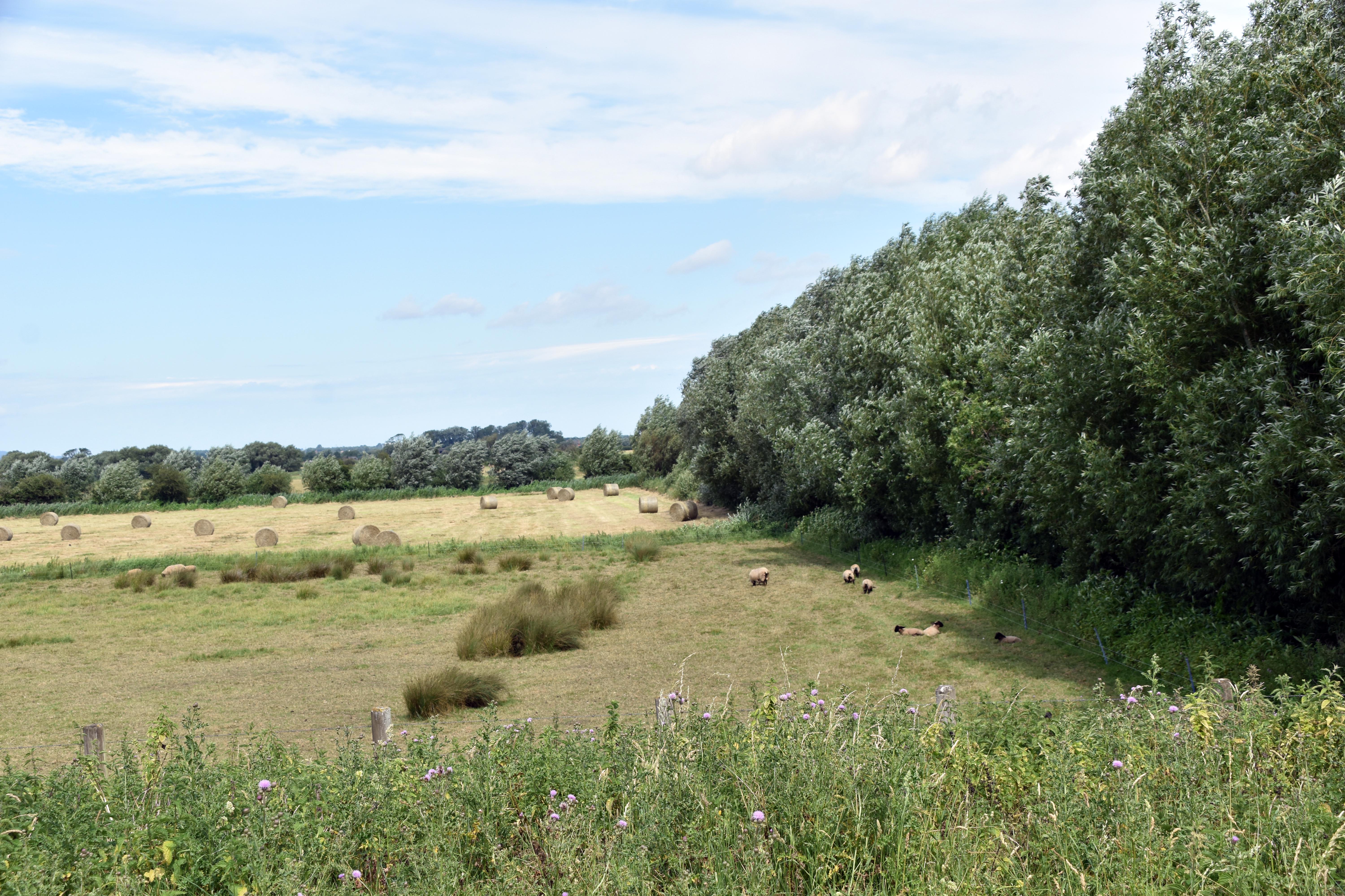
Looking back from the embankment along the River Tone towards Athelney and the surrounding meadows The River Tone flowing quietly through reeds and summer grasses near Athelney Alfred Monument with the tower of St Bartholomew’s at East Lyng intruding beyond the mound Agricultural use of the reclaimed Somerset Levels showing hay bales and grazing livestock
Looking back from the embankment along the River Tone towards Athelney. The River Tone flowing through tall grasses and reeds near Athelney. Alfred Monument with St Bartholomew’s at East Lyng intruding on the skyline. Agricultural use along the reclaimed land of the Somerset Levels.
The River Tone near Athelney, flowing past meadows before the later turn towards Burrowbridge Burrow Mump seen through trees, rising above the flat Somerset Levels near Burrowbridge Burrow Mump viewed from the banks of the River Parrett, crowned by the remains of St Michael’s church The King Alfred Inn beside the stone bridge at Burrow Bridge
The River Tone near Athelney, flowing past meadows before the later turn towards Burrowbridge. Burrow Mump seen through trees, rising above the flat Somerset Levels near Burrowbridge. Burrow Mump viewed from the banks of the River Parrett, crowned by the remains of St Michael’s church. The King Alfred Inn beside the stone bridge at Burrow Bridge.
Two sheep grazing along the muddy bank of the River Parrett near Burrow Bridge The 19th‑century St Michael’s church at Burrowbridge, built to replace the ruined hilltop church and now closed to the public View from Burrow Mump across the Somerset Levels showing the flat reclaimed landscape stretching for miles RAF A400 Atlas transport aircraft flying directly above Burrow Mump, possibly using the hill as a navigational aid
Two sheep grazing along the muddy bank of the River Parrett near Burrow Bridge. The 19th‑century St Michael’s church at Burrowbridge, built to replace the ruined hilltop church and now closed to the public. View from Burrow Mump across the Somerset Levels showing the flat reclaimed landscape stretching for miles. RAF A400 Atlas transport aircraft flying directly above Burrow Mump, possibly using the hill as a navigational aid.
Ruins of St Michael’s church on Burrow Mump showing the tower and surviving stone walls of the nave Interior view through the brick and stone arches of St Michael’s church ruins on Burrow Mump Distant view of Middle Zoy church with another tower visible beyond, seen from Burrow Mump Rupert exploring beside the ruins of St Michael’s church on Burrow Mump
The ruins of St Michael’s church on Burrow Mump showing the tower and surviving stone walls of the nave. Interior view through the brick and stone arches of St Michael’s church ruins on Burrow Mump. Distant view of Middle Zoy church with another tower visible beyond, seen from Burrow Mump. Rupert exploring beside the ruins of St Michael’s church on Burrow Mump.
The East Lyng to Burrowbridge section of the old Taunton to Wells Turnpike road running straight across the Somerset Levels Drainage channel leading into the River Parrett, bordered by reeds and summer wildflowers near Lyng Drove Golden wheat field on the Somerset Levels with tractor tracks running towards the horizon under a clear blue sky Tractor carrying stacked hay bales along Church Road near to Lyng Drove beneath trees on a bright summer day
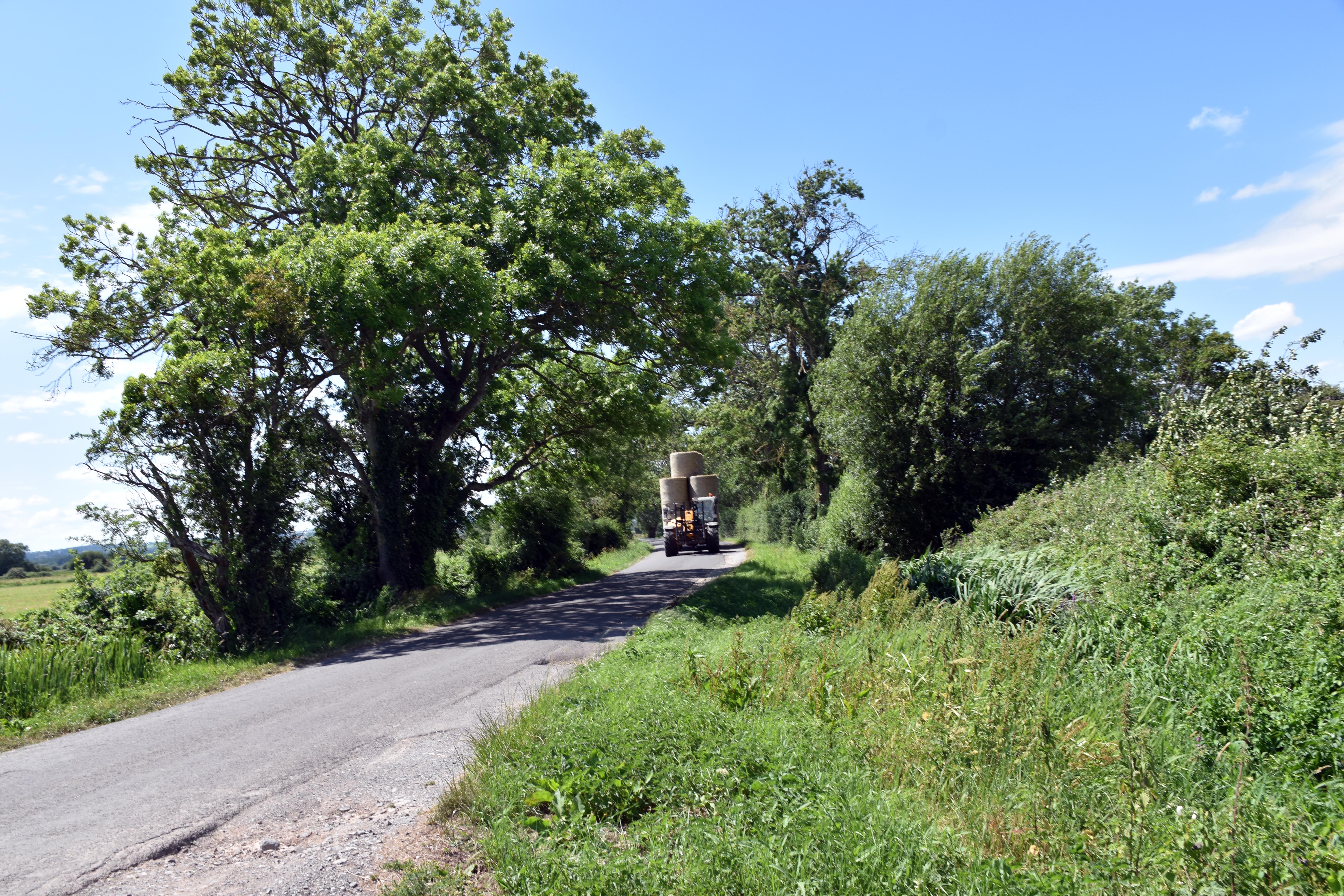
The East Lyng to Burrowbridge section of the old Taunton to Wells Turnpike road running straight across the Somerset Levels. Drainage channel leading into the River Parrett, bordered by reeds and summer wildflowers near Lyng Drove. Golden wheat field on the Somerset Levels with tractor tracks running towards the horizon under a clear blue sky. Tractor carrying stacked hay bales along Church Road beneath trees on a bright summer day.
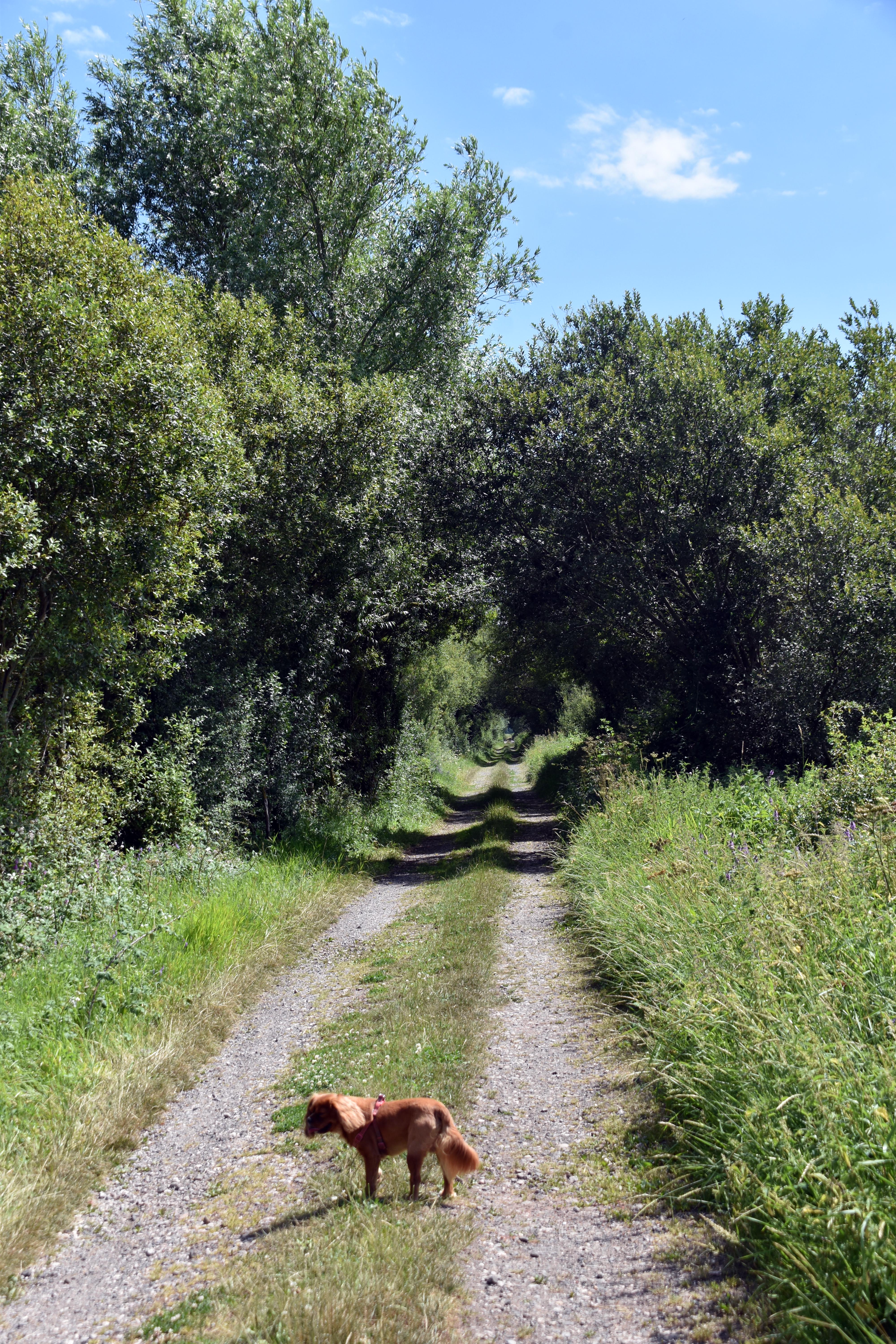
Church Road near West Yeo Farm, a quiet tree‑lined lane leading through the Somerset Levels Straight rhyne cutting through the meadows, its surface dotted with reeds and water plants under summer light Middlemoor Drove stretching across the reclaimed farmland with Rupert walking ahead beneath a clear blue sky Cattle grazing in one of the reclaimed meadows framed by hedgerows and distant hills of the Somerset Levels
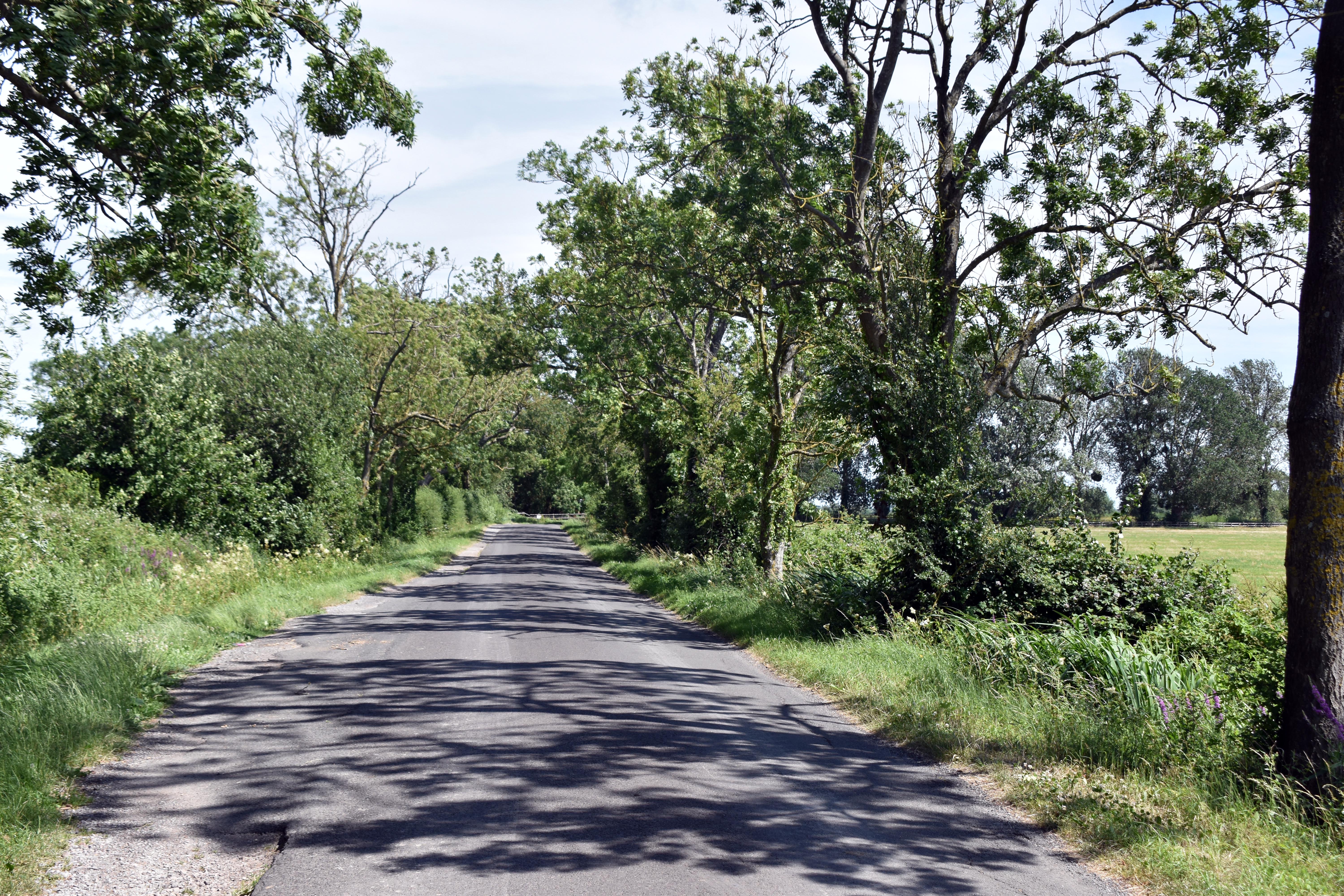
Church Road near West Yeo Farm, a quiet tree‑lined lane leading through the Somerset Levels. Straight rhyne cutting through the meadows, its surface dotted with reeds and water plants under summer light. Middlemoor Drove stretching across the reclaimed farmland with Rupert walking ahead beneath a clear blue sky. Cattle grazing in one of the reclaimed meadows framed by hedgerows and distant hills.
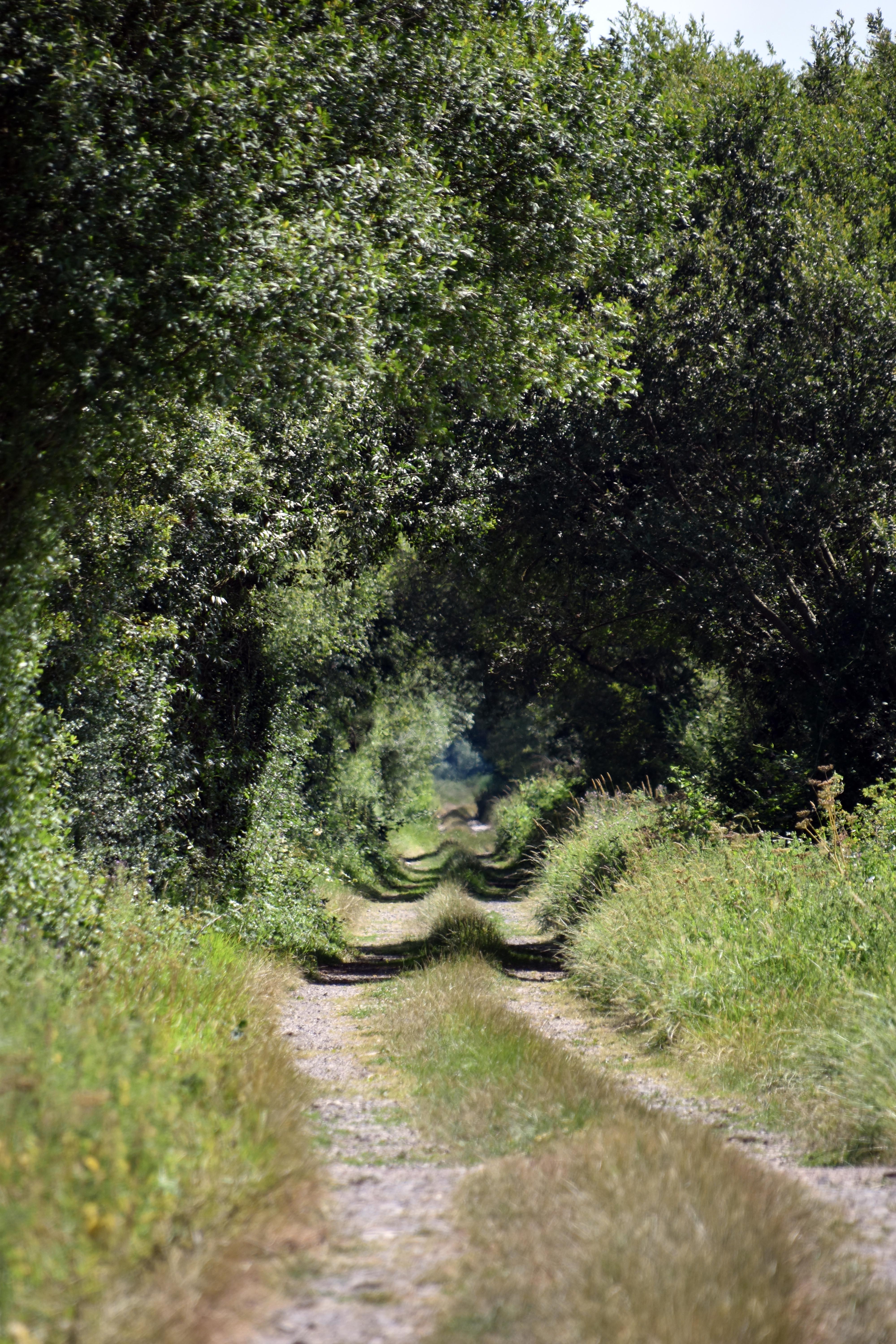
Lyng Drove running straight beneath a canopy of summer greenery, its grassy centre marking the old cattle route Two young bulls standing alert in a meadow along Lyng Drove, part of the reclaimed Somerset Levels farmland Large white mature bull grazing in the reclaimed meadow near Lyng Drove, showing the strength of the breed Sluice gate used to regulate water flow across the Somerset Levels, part of the intricate drainage system near Lyng Drove
Lyng Drove running straight beneath a canopy of summer greenery, its grassy centre marking the old cattle route. Two young bulls standing alert in a meadow along Lyng Drove, part of the reclaimed Somerset Levels farmland. Large white mature bull grazing in the reclaimed meadow near Lyng Drove, showing the strength of the breed. Sluice gate used to regulate water flow across the Somerset Levels, part of the intricate drainage system alongside Lyng Drove.
Lyng Drove continuing its long straight course beneath summer foliage, with Rupert walking ahead along the shaded track Cattle resting in the meadow with Burrow Mump visible in the distance across the Somerset Levels Burrow Mump rising above the Somerset Levels, its ruined St Michael’s church clearly visible against the summer sky Cattle resting in the meadow, one finding shade beneath a tree on a hot summer day near Lyng Drove
Lyng Drove continuing its long straight course beneath summer foliage, with Rupert walking ahead along the shaded track. Cattle resting in the meadow with Burrow Mump visible in the distance across the Somerset Levels. Burrow Mump rising above the Somerset Levels, its ruined St Michael’s church clearly visible against the summer sky. Cattle resting in the meadow, one finding shade beneath a tree on a hot summer day near Lyng Drove.
Brass memorial plaque to Benjamin Pain Turner of Lyng Court, 22nd Royal Fusiliers, killed in action in France 1917 Stone parish war memorial listing those from East Lyng who served and fell in the World Wars 1914–1918 and 1939–1945 Brass plaque commemorating Corporal Frederick Alfred Hembrow of Athelney Farm, Somerset Light Infantry, killed 1918 in France Stained glass window in St Bartholomew’s Church, East Lyng, dedicated to Richard Meade King (1866), depicting Christ and disciples
Brass memorial plaque to Benjamin Pain Turner of Lyng Court, 22nd Royal Fusiliers, killed in action in France 1917. Stone parish war memorial listing those from East Lyng who served and fell in the World Wars 1914–1918 and 1939–1945. Brass plaque commemorating Corporal Frederick Alfred Hembrow of Athelney Farm, Somerset Light Infantry, killed 1918 in France. Stained glass window in St Bartholomew’s Church, East Lyng, dedicated to Richard Meade King (1866), depicting Christ and disciples.
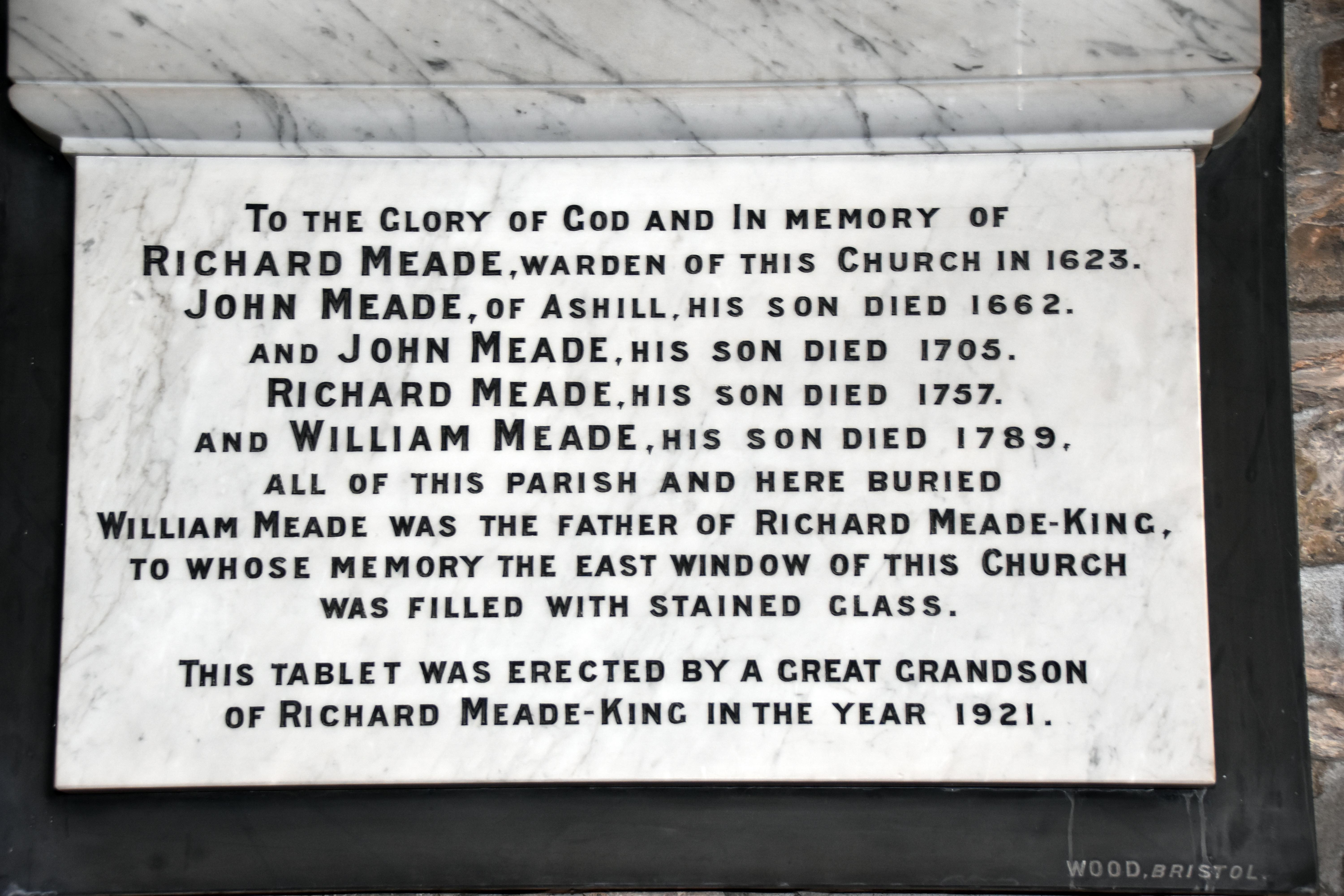
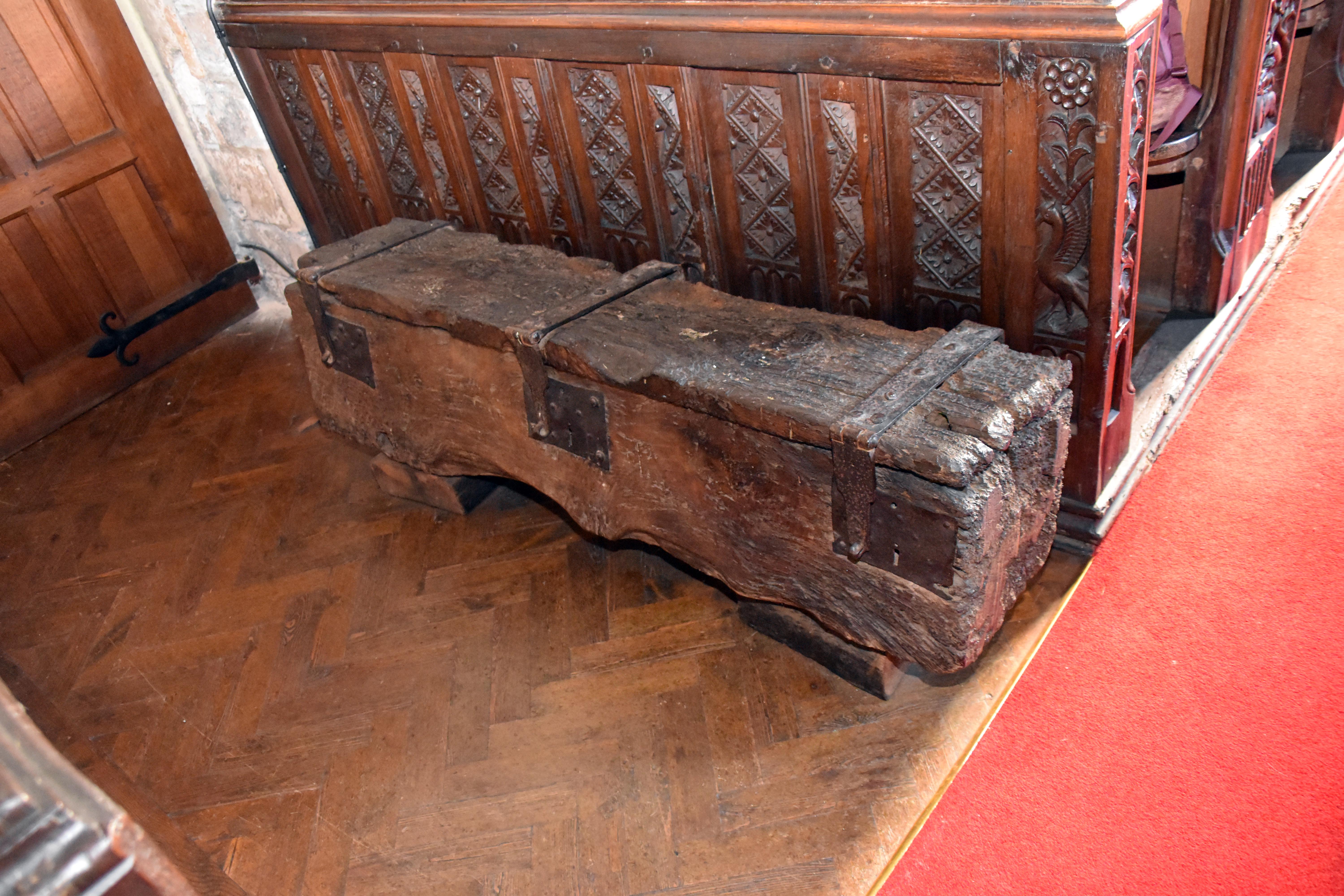
Marble memorial tablet to the Meade family, recording generations of churchwardens and parishioners from 1623 to 1921 Large painted wooden panels depicting Moses and Aaron, 18th‑century works under the tower of St Bartholomew’s Church, East Lyng Medieval parish chest made from a single timber beam with iron bands and hinges, standing beside the carved pews of St Bartholomew’s Early‑modern bench end carving showing a couple hand‑fasting beneath a foliate design, dated to the early years of Henry VIII’s reign
Marble memorial tablet to the Meade family, recording generations of churchwardens and parishioners from 1623 to 1921. Large painted wooden panels depicting Moses and Aaron, 18th‑century works under the tower of St Bartholomew’s Church, East Lyng. Medieval parish chest made from a single timber beam with iron bands and hinges, standing beside the carved pews of St Bartholomew’s. Early‑modern bench end carving showing a couple hand‑fasting beneath a foliate design, dated to the early years of Henry VIII’s reign.
Bench end carving showing a bird with raised wings above a Green Man face, surrounded by intertwined foliage at St Bartholomew’s Church, East Lyng Bench end carving depicting a unicorn beneath a suspended urn with draped ribbons, part of the ornate C16–C17 pew carvings at St Bartholomew’s Church View along the nave of St Bartholomew’s Church, East Lyng, showing the wagon roof, carved pews, pulpit, and organ leading to the chancel Chancel and altar of St Bartholomew’s Church, East Lyng, with banners dedicated to the saint and stained glass window above the reredos
Bench end carving showing a bird with raised wings above a Green Man face, surrounded by intertwined foliage at St Bartholomew’s Church, East Lyng. Bench end carving depicting a unicorn beneath a suspended urn with draped ribbons, part of the ornate C16–C17 pew carvings at St Bartholomew’s Church. View along the nave of St Bartholomew’s Church, East Lyng, showing the wagon roof, carved pews, pulpit, and organ leading to the chancel. Chancel and altar of St Bartholomew’s Church, East Lyng, with banners dedicated to the saint and stained glass window above the reredos.
Decorative stained‑glass window with twin panels of geometric and floral motifs, rich in red, green, yellow and blue, set within a stone alcove at St Bartholomew’s Church, East Lyng Stained‑glass window depicting King Alfred and St Bartholomew, commemorating Henry Marsh and Alfred Smith, vicar of East Lyng (1905) View from the chancel looking west along the nave of St Bartholomew’s Church, showing pews, memorial plaques and the large west window Rupert resting on the red carpet aisle among the carved pews of St Bartholomew’s Church, East Lyng
Decorative stained‑glass window with twin panels of geometric and floral motifs, rich in red, green, yellow and blue, set within a stone alcove at St Bartholomew’s Church, East Lyng. Stained‑glass window depicting King Alfred and St Bartholomew, commemorating Henry Marsh and Alfred Smith, vicar of East Lyng (1905). View from the chancel looking west along the nave of St Bartholomew’s Church, showing pews, memorial plaques and the large west window. Rupert resting on the red carpet aisle among the carved pews of St Bartholomew’s Church, East Lyng.
17th‑century gravestone of James Mitchell dated 1674, one of the earliest surviving markers in St Bartholomew’s churchyard at East Lyng Late 17th‑century gravestone of John Dibble (1696) and his wife Isabell (1718), carved with floral scrollwork in East Lyng churchyard St Bartholomew’s Church, East Lyng, showing its Quantock‑type tower and Decorated windows beneath a bright summer sky Cuts Road running straight across the Somerset Levels, following the medieval Balt Moor Way flood defence towards Athelney
17th‑century gravestone of James Mitchell dated 1674, one of the earliest surviving markers in St Bartholomew’s churchyard at East Lyng. Late 17th‑century gravestone of John Dibble (1696) and his wife Isabell (1718), carved with floral scrollwork in East Lyng churchyard. St Bartholomew’s Church, East Lyng, showing its Quantock‑type tower and Decorated windows beneath a bright summer sky. Cuts Road running straight across the Somerset Levels, following the medieval Balt Moor Way flood defence towards Athelney.

Walks by the Westcountry Walker
Armed Forces | Art and Culture | Articles | Biographies | Colonies | Discussion | Glossary | Hiking | Home | Library | Links | Map Room | Sources and Media | Science and Technology | Search | Student Zone | Timelines | TV and Film | Wargames
Donate by Stephen Luscombe